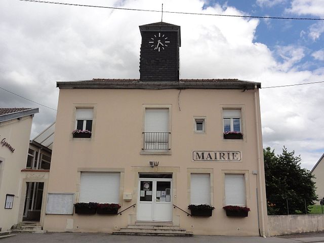
Fléville-devant-Nancy (Fléville-devant-Nancy)

- commune in Meurthe-et-Moselle, France
- Country:

- Postal Code: 54710
- Coordinates: 48° 37' 31" N, 6° 12' 13" E


- GPS tracks (wikiloc): [Link]
- Area: 7.4 sq km
- Population: 2313
- Web site: http://www.flevilledevantnancy.mairie.com
- Wikipedia en: wiki(en)
- Wikipedia: wiki(fr)
- Wikidata storage: Wikidata: Q217474
- Wikipedia Commons Category: [Link]
- Freebase ID: [/m/03qdg_f]
- Freebase ID: [/m/03qdg_f]
- Freebase ID: [/m/03qdg_f]
- GeoNames ID: Alt: [6436604]
- GeoNames ID: Alt: [6436604]
- GeoNames ID: Alt: [6436604]
- SIREN number: [215401977]
- SIREN number: [215401977]
- SIREN number: [215401977]
- BnF ID: [15264266w]
- BnF ID: [15264266w]
- BnF ID: [15264266w]
- VIAF ID: Alt: [124478039]
- VIAF ID: Alt: [124478039]
- VIAF ID: Alt: [124478039]
- OSM relation ID: [52370]
- OSM relation ID: [52370]
- OSM relation ID: [52370]
- Library of Congress authority ID: Alt: [n92055113]
- Library of Congress authority ID: Alt: [n92055113]
- Library of Congress authority ID: Alt: [n92055113]
- PACTOLS thesaurus ID: [pcrtXJFWvrjRLj]
- PACTOLS thesaurus ID: [pcrtXJFWvrjRLj]
- PACTOLS thesaurus ID: [pcrtXJFWvrjRLj]
- INSEE municipality code: 54197
- INSEE municipality code: 54197
- INSEE municipality code: 54197
Shares border with regions:


Laneuveville-devant-Nancy
- commune in Meurthe-et-Moselle, France
- Country:
- Postal Code: 54410
- Coordinates: 48° 39' 19" N, 6° 13' 53" E
- GPS tracks (wikiloc): [Link]
- Area: 12.47 sq km
- Population: 6529
- Web site: [Link]

Ville-en-Vermois
- commune in Meurthe-et-Moselle, France
- Country:
- Postal Code: 54210
- Coordinates: 48° 36' 51" N, 6° 15' 15" E
- GPS tracks (wikiloc): [Link]
- Area: 10.53 sq km
- Population: 603
- Web site: [Link]


Heillecourt
- commune in Meurthe-et-Moselle, France
- Country:
- Postal Code: 54180
- Coordinates: 48° 39' 9" N, 6° 11' 39" E
- GPS tracks (wikiloc): [Link]
- Area: 3.65 sq km
- Population: 5610


Houdemont
- commune in Meurthe-et-Moselle, France
- Country:
- Postal Code: 54180
- Coordinates: 48° 38' 46" N, 6° 10' 29" E
- GPS tracks (wikiloc): [Link]
- Area: 3.62 sq km
- Population: 2183
- Web site: [Link]


Ludres
- commune in Meurthe-et-Moselle, France
- Country:
- Postal Code: 54710
- Coordinates: 48° 37' 18" N, 6° 9' 42" E
- GPS tracks (wikiloc): [Link]
- Area: 8.18 sq km
- Population: 6363