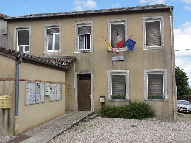
Ville-en-Vermois (Ville-en-Vermois)

- commune in Meurthe-et-Moselle, France
- Country:

- Postal Code: 54210
- Coordinates: 48° 36' 51" N, 6° 15' 15" E


- GPS tracks (wikiloc): [Link]
- Area: 10.53 sq km
- Population: 603
- Web site: http://perso.orange.fr/ville-en-vermois/
- Wikipedia en: wiki(en)
- Wikipedia: wiki(fr)
- Wikidata storage: Wikidata: Q1159891
- Wikipedia Commons Category: [Link]
- Freebase ID: [/m/03qdnyn]
- Freebase ID: [/m/03qdnyn]
- GeoNames ID: Alt: [6436915]
- GeoNames ID: Alt: [6436915]
- SIREN number: [215405713]
- SIREN number: [215405713]
- BnF ID: [15264638r]
- BnF ID: [15264638r]
- PACTOLS thesaurus ID: [pcrtVGPOFSM1fy]
- PACTOLS thesaurus ID: [pcrtVGPOFSM1fy]
- INSEE municipality code: 54571
- INSEE municipality code: 54571
Shares border with regions:


Azelot
- commune in Meurthe-et-Moselle, France
- Country:
- Postal Code: 54210
- Coordinates: 48° 35' 21" N, 6° 14' 1" E
- GPS tracks (wikiloc): [Link]
- Area: 4.75 sq km
- Population: 424
- Web site: [Link]


Laneuveville-devant-Nancy
- commune in Meurthe-et-Moselle, France
- Country:
- Postal Code: 54410
- Coordinates: 48° 39' 19" N, 6° 13' 53" E
- GPS tracks (wikiloc): [Link]
- Area: 12.47 sq km
- Population: 6529
- Web site: [Link]


Saint-Nicolas-de-Port
- commune in Meurthe-et-Moselle, France
- Country:
- Postal Code: 54210
- Coordinates: 48° 37' 51" N, 6° 18' 8" E
- GPS tracks (wikiloc): [Link]
- AboveSeaLevel: 232 м m
- Area: 8.23 sq km
- Population: 7618
- Web site: [Link]


Lupcourt
- commune in Meurthe-et-Moselle, France
- Country:
- Postal Code: 54210
- Coordinates: 48° 36' 41" N, 6° 14' 7" E
- GPS tracks (wikiloc): [Link]
- Area: 6.94 sq km
- Population: 450


Fléville-devant-Nancy
- commune in Meurthe-et-Moselle, France
- Country:
- Postal Code: 54710
- Coordinates: 48° 37' 31" N, 6° 12' 13" E
- GPS tracks (wikiloc): [Link]
- Area: 7.4 sq km
- Population: 2313
- Web site: [Link]

Burthecourt-aux-Chênes
- commune in Meurthe-et-Moselle, France
- Country:
- Postal Code: 54210
- Coordinates: 48° 35' 6" N, 6° 14' 58" E
- GPS tracks (wikiloc): [Link]
- Area: 5.59 sq km
- Population: 104


Manoncourt-en-Vermois
- commune in Meurthe-et-Moselle, France
- Country:
- Postal Code: 54210
- Coordinates: 48° 36' 3" N, 6° 15' 59" E
- GPS tracks (wikiloc): [Link]
- Area: 6.68 sq km
- Population: 341


Ludres
- commune in Meurthe-et-Moselle, France
- Country:
- Postal Code: 54710
- Coordinates: 48° 37' 18" N, 6° 9' 42" E
- GPS tracks (wikiloc): [Link]
- Area: 8.18 sq km
- Population: 6363