Fleury-les-Aubrais (Fleury-les-Aubrais)

- commune in Loiret, France
- Country:

- Postal Code: 45400
- Coordinates: 47° 55' 55" N, 1° 55' 16" E


- GPS tracks (wikiloc): [Link]
- Area: 10.12 sq km
- Population: 21089
- Web site: http://www.ville-fleurylesaubrais.fr
- Wikipedia en: wiki(en)
- Wikipedia: wiki(fr)
- Wikidata storage: Wikidata: Q857771
- Wikipedia Commons Category: [Link]
- Freebase ID: [/m/0d4_kx]
- GeoNames ID: Alt: [3018280]
- SIREN number: [214501470]
- BnF ID: [15260539v]
- VIAF ID: Alt: [235601277]
- GND ID: Alt: [4273669-9]
- PACTOLS thesaurus ID: [pcrtAoHi3SVc2p]
- WOEID: [23410324]
- Quora topic ID: [Fleury-Les-Aubrais]
- INSEE municipality code: 45147
Shares border with regions:


Cercottes
- commune in Loiret, France
- Country:
- Postal Code: 45520
- Coordinates: 47° 59' 7" N, 1° 52' 58" E
- GPS tracks (wikiloc): [Link]
- Area: 24.24 sq km
- Population: 1423
- Web site: [Link]


Semoy
- commune in Loiret, France
- Country:
- Postal Code: 45400
- Coordinates: 47° 55' 56" N, 1° 56' 55" E
- GPS tracks (wikiloc): [Link]
- Area: 7.78 sq km
- Population: 3199
- Web site: [Link]

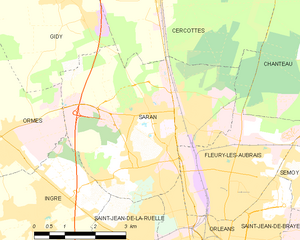
Saran
- commune in Loiret, France
- Country:
- Postal Code: 45770
- Coordinates: 47° 57' 5" N, 1° 52' 49" E
- GPS tracks (wikiloc): [Link]
- Area: 19.65 sq km
- Population: 16259
- Web site: [Link]

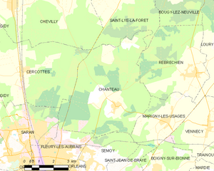
Chanteau
- commune in Loiret, France
- Country:
- Postal Code: 45400
- Coordinates: 47° 57' 53" N, 1° 58' 6" E
- GPS tracks (wikiloc): [Link]
- Area: 28.85 sq km
- Population: 1422
- Web site: [Link]


Orléans
- city in north-central France
- Country:
- Postal Code: 45100; 45000
- Coordinates: 47° 54' 8" N, 1° 54' 15" E
- GPS tracks (wikiloc): [Link]
- AboveSeaLevel: 116 м m
- Area: 27.48 sq km
- Population: 114644
- Web site: [Link]