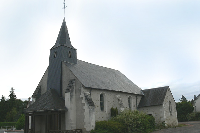
Fontguenand (Fontguenand)

- commune in Indre, France
- Country:

- Postal Code: 36600
- Coordinates: 47° 13' 5" N, 1° 32' 16" E


- GPS tracks (wikiloc): [Link]
- Area: 18.24 sq km
- Population: 230
- Web site: http://www.fontguenand.fr
- Wikipedia en: wiki(en)
- Wikipedia: wiki(fr)
- Wikidata storage: Wikidata: Q1071803
- Wikipedia Commons Category: [Link]
- Freebase ID: [/m/03nv9xd]
- GeoNames ID: Alt: [6448615]
- SIREN number: [213600778]
- BnF ID: [15257381k]
- INSEE municipality code: 36077
Shares border with regions:

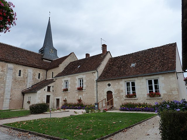
La Vernelle
- commune in Indre, France
- Country:
- Postal Code: 36600
- Coordinates: 47° 14' 53" N, 1° 32' 35" E
- GPS tracks (wikiloc): [Link]
- Area: 17.08 sq km
- Population: 760


Lye
- commune in Indre, France
- Country:
- Postal Code: 36600
- Coordinates: 47° 13' 40" N, 1° 28' 24" E
- GPS tracks (wikiloc): [Link]
- Area: 24.77 sq km
- Population: 771
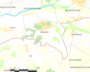
Meusnes
- commune in Loir-et-Cher, France
- Country:
- Postal Code: 41130
- Coordinates: 47° 15' 1" N, 1° 29' 48" E
- GPS tracks (wikiloc): [Link]
- Area: 13.35 sq km
- Population: 1092
- Web site: [Link]


Valençay
- commune in Indre, France
- Country:
- Postal Code: 36600
- Coordinates: 47° 9' 38" N, 1° 33' 58" E
- GPS tracks (wikiloc): [Link]
- Area: 41.59 sq km
- Population: 2453
- Web site: [Link]


Villentrois
- commune in Indre, France
- Country:
- Postal Code: 36600
- Coordinates: 47° 11' 40" N, 1° 27' 45" E
- GPS tracks (wikiloc): [Link]
- Area: 32.38 sq km
- Population: 613