Gabbioneta-Binanuova (Gabbioneta-Binanuova)
.svg)
- Italian comune
 Hiking in Gabbioneta-Binanuova
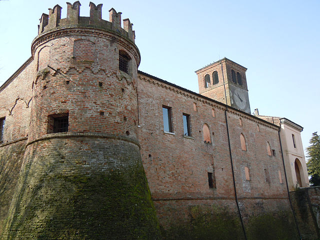
Gabbioneta-Binanuova is a small municipality in the province of Cremona in Lombardy, Italy. While it may not be as well-known as some major hiking destinations, the surrounding area offers some natural beauty and opportunities for outdoor activities, including hiking.
Hiking Opportunities
-
Local Trails: Gabbioneta-Binanuova itself might not have extensive hiking trails, but the region does feature a network of paths that can be explored. You can often find scenic routes through the countryside, which are perfect for leisurely walks and nature observation.
-
Po River: The nearby Po River provides beautiful landscapes and opportunities for hiking. The areas around the river can be explored, offering flat terrain suitable for both walking and cycling. It's a great way to enjoy the natural environment while taking in the biodiversity along the riverbanks.
-
Natural Reserves: Consider visiting nearby natural reserves or parks. The Po Delta, while a bit further away, is a fantastic area for hiking with its unique wetlands and rich wildlife.
-
Local Flora and Fauna: While hiking in the area, keep an eye out for the local flora and fauna. The region is characterized by agricultural landscapes, and you may spot various bird species, especially around water bodies.
Tips for Hiking in Gabbioneta-Binanuova
- Weather: Check the weather conditions before heading out, especially during the spring and fall when temperatures can vary.
- Gear: Wear comfortable footwear, as some paths may be uneven or unpaved.
- Maps and Guides: It can be helpful to have a map or use a hiking app to navigate, as trail signage may be limited.
- Stay Hydrated: Bring plenty of water, especially on warmer days, as there may not be accessible facilities along your route.
- Enjoy the Culture: Since you are in a small Italian municipality, take some time to enjoy local cuisine and culture post-hike.
While Gabbioneta-Binanuova may not be a prominent hiking destination, its surroundings offer an excellent opportunity for those looking to enjoy the quiet beauty of the Lombard countryside.
- Country:

- Postal Code: 26030
- Local Dialing Code: 0372
- Licence Plate Code: CR
- Coordinates: 45° 13' 0" N, 10° 13' 0" E


- GPS tracks (wikiloc): [Link]
- AboveSeaLevel: 38 м m
- Area: 15.71 sq km
- Population: 860
- Web site: http://www.comune.gabbionetabinanuova.cr.it
- Wikipedia en: wiki(en)
- Wikipedia: wiki(it)
- Wikidata storage: Wikidata: Q42684
- Wikipedia Commons Category: [Link]
- Freebase ID: [/m/0gjy_s]
- GeoNames ID: Alt: [6535944]
- OSM relation ID: [44459]
- UN/LOCODE: [ITBVB]
- ISTAT ID: 019045
- Italian cadastre code: D834
- LombardiaBeniCulturali toponym ID: 4000027
- LombardiaBeniCulturali institution ID: 4000027
Shares border with regions:

Seniga
- Italian comune
Hiking in Seniga
Seniga is a charming area located in the Lombardy region of Italy, offering beautiful landscapes and opportunities for hiking enthusiasts. Though it might not be as widely known as some other hiking destinations, it provides a unique blend of scenery, culture, and outdoor activities....
- Country:
- Postal Code: 25020
- Local Dialing Code: 030
- Licence Plate Code: BS
- Coordinates: 45° 14' 36" N, 10° 10' 41" E
- GPS tracks (wikiloc): [Link]
- AboveSeaLevel: 48 м m
- Area: 13.57 sq km
- Population: 1437
- Web site: [Link]
Grontardo
- Italian comune
Hiking in Grontardo
Grontardo is a small town located in the province of Cremona, Lombardy, Italy. While it may not be as widely recognized as popular hiking destinations in the Alps or Dolomites, it offers beautiful landscapes and opportunities for outdoor activities in the surrounding countryside....
- Country:
- Postal Code: 26044
- Local Dialing Code: 0372
- Licence Plate Code: CR
- Coordinates: 45° 12' 0" N, 10° 9' 0" E
- GPS tracks (wikiloc): [Link]
- AboveSeaLevel: 46 м m
- Area: 12.26 sq km
- Population: 1467
- Web site: [Link]
Pessina Cremonese
- Italian comune
Hiking in Pessina Cremonese
Pessina Cremonese is a small municipality located in the province of Cremona in the Lombardy region of Italy. While it's not a popular hiking destination like some of the more mountainous areas in Italy, it still offers opportunities for those looking to enjoy scenic outdoor activities in a serene rural environment....
- Country:
- Postal Code: 26030
- Local Dialing Code: 0372
- Licence Plate Code: CR
- Coordinates: 45° 11' 0" N, 10° 15' 0" E
- GPS tracks (wikiloc): [Link]
- AboveSeaLevel: 42 м m
- Area: 22.02 sq km
- Population: 626
- Web site: [Link]


Pescarolo ed Uniti
- Italian comune
Hiking in Pescarolo ed Uniti
Pescarolo ed Uniti is a small town located in the Lombardy region of Italy, near the Po River. While the area isn't typically recognized as a major hiking destination compared to larger national parks or mountainous regions, it does offer some opportunities for outdoor exploration, especially for those who enjoy calm walks in picturesque environments....
- Country:
- Postal Code: 26033
- Local Dialing Code: 0372
- Licence Plate Code: CR
- Coordinates: 45° 11' 38" N, 10° 11' 11" E
- GPS tracks (wikiloc): [Link]
- AboveSeaLevel: 45 м m
- Area: 16.54 sq km
- Population: 1544
- Web site: [Link]
Scandolara Ripa d'Oglio
- Italian comune
Hiking in Scandolara Ripa d'Oglio
Scandolara Ripa d'Oglio is a charming village located in the Lombardy region of Italy, characterized by its beautiful natural landscapes and proximity to the Oglio River. While the immediate area may not be as widely known as other hiking destinations, it offers opportunities for outdoor activities and exploration in its surroundings....
- Country:
- Postal Code: 26047
- Local Dialing Code: 0372
- Licence Plate Code: CR
- Coordinates: 45° 13' 0" N, 10° 9' 0" E
- GPS tracks (wikiloc): [Link]
- AboveSeaLevel: 47 м m
- Area: 5.72 sq km
- Population: 572
- Web site: [Link]

Ostiano
- Italian comune
Hiking in Ostiano
Ostiano, located in the Lombardy region of Italy, offers a unique opportunity for hiking enthusiasts to explore its scenic landscapes and local culture. While Ostiano itself may not be as widely recognized for extensive hiking trails as some other Italian regions, it serves as a gateway to the surrounding areas that are rich in natural beauty and potential hiking routes....
- Country:
- Postal Code: 26032
- Local Dialing Code: 0372
- Licence Plate Code: CR
- Coordinates: 45° 13' 0" N, 10° 15' 0" E
- GPS tracks (wikiloc): [Link]
- AboveSeaLevel: 43 м m
- Area: 19.49 sq km
- Population: 2945
- Web site: [Link]