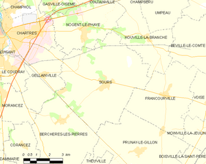
Gellainville (Gellainville)

- commune in Eure-et-Loir, France
- Country:

- Postal Code: 28630
- Coordinates: 48° 24' 58" N, 1° 32' 0" E


- GPS tracks (wikiloc): [Link]
- Area: 12.01 sq km
- Population: 685
- Web site: http://www.gellainville.fr
- Wikipedia en: wiki(en)
- Wikipedia: wiki(fr)
- Wikidata storage: Wikidata: Q1139521
- Wikipedia Commons Category: [Link]
- Freebase ID: [/m/03nqtt0]
- GeoNames ID: Alt: [6430751]
- SIREN number: [212801773]
- BnF ID: [15254107w]
- PACTOLS thesaurus ID: [pcrtM2e5grU3O2]
- INSEE municipality code: 28177
Shares border with regions:


Chartres
- commune in Eure-et-Loir, France
- Country:
- Postal Code: 28000
- Coordinates: 48° 26' 48" N, 1° 29' 18" E
- GPS tracks (wikiloc): [Link]
- AboveSeaLevel: 142 м m
- Area: 16.85 sq km
- Population: 38875
- Web site: [Link]

Sours
- commune in Eure-et-Loir, France
- Country:
- Postal Code: 28630
- Coordinates: 48° 24' 36" N, 1° 35' 50" E
- GPS tracks (wikiloc): [Link]
- Area: 33.15 sq km
- Population: 1927