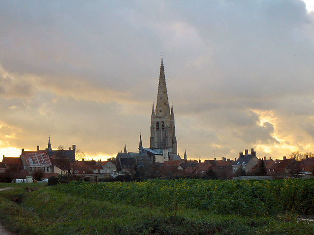
Ghyvelde (Ghyvelde)

- former commune in Nord, France
- Country:

- Postal Code: 59122; 59254
- Coordinates: 51° 3' 6" N, 2° 31' 38" E


- GPS tracks (wikiloc): [Link]
- Area: 16.46 sq km
- Population: 3194
- Wikidata storage: Wikidata: Q476047
- Wikipedia Commons Category: [Link]
- Freebase ID: [/m/092m24]
- Freebase ID: [/m/092m24]
- GeoNames ID: Alt: [6438257]
- GeoNames ID: Alt: [6438257]
- BnF ID: [15266834d]
- BnF ID: [15266834d]
- WOEID: [592798]
- WOEID: [592798]
- INSEE municipality code: 59260
- INSEE municipality code: 59260
Shares border with regions:


Uxem
- commune in Nord, France
- Country:
- Postal Code: 59229
- Coordinates: 51° 1' 18" N, 2° 29' 0" E
- GPS tracks (wikiloc): [Link]
- Area: 8.27 sq km
- Population: 1410
- Web site: [Link]


Zuydcoote
- commune in Nord, France
- Country:
- Postal Code: 59123
- Coordinates: 51° 3' 51" N, 2° 29' 22" E
- GPS tracks (wikiloc): [Link]
- Area: 2.6 sq km
- Population: 1787

Hondschoote
- commune in Nord, France
- Country:
- Postal Code: 59122
- Coordinates: 50° 58' 46" N, 2° 35' 7" E
- GPS tracks (wikiloc): [Link]
- Area: 23.66 sq km
- Population: 4096
- Web site: [Link]


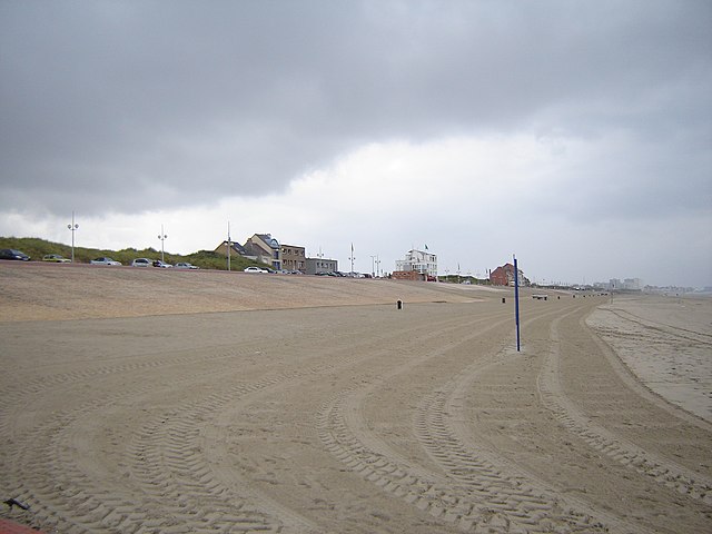
Bray-Dunes
- commune in Nord, France
- Country:
- Postal Code: 59123
- Coordinates: 51° 4' 16" N, 2° 31' 39" E
- GPS tracks (wikiloc): [Link]
- Area: 8.57 sq km
- Population: 4599
- Web site: [Link]

Leffrinckoucke
- commune in Nord, France
- Country:
- Postal Code: 59495
- Coordinates: 51° 3' 13" N, 2° 26' 19" E
- GPS tracks (wikiloc): [Link]
- Area: 7.28 sq km
- Population: 4293
- Web site: [Link]
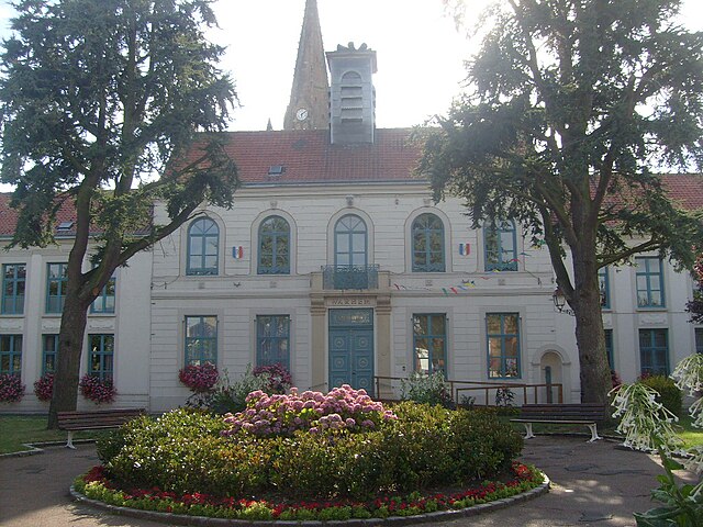

Warhem
- commune in Nord, France
- Country:
- Postal Code: 59380
- Coordinates: 50° 58' 34" N, 2° 29' 35" E
- GPS tracks (wikiloc): [Link]
- Area: 27.84 sq km
- Population: 2055
- Web site: [Link]


Les Moëres
- former commune in Nord, France
- Country:
- Postal Code: 59122
- Coordinates: 51° 0' 53" N, 2° 33' 2" E
- GPS tracks (wikiloc): [Link]
- Area: 19.46 sq km
- Population: 997