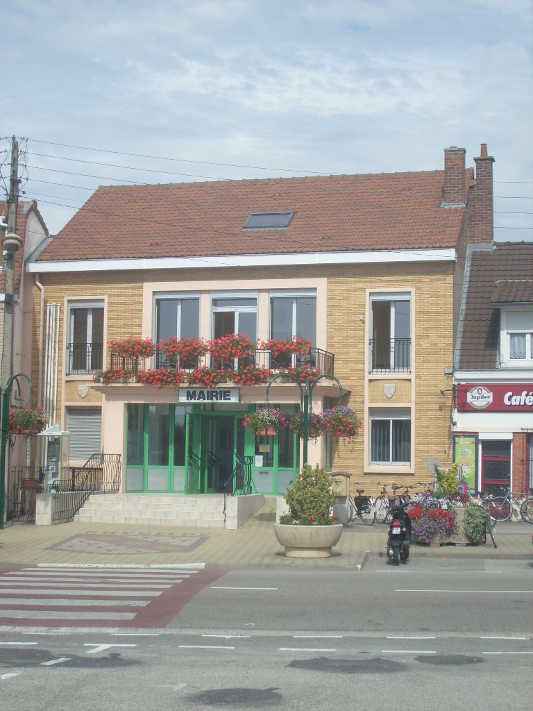
Uxem (Uxem)

- commune in Nord, France
- Country:

- Postal Code: 59229
- Coordinates: 51° 1' 18" N, 2° 29' 0" E


- GPS tracks (wikiloc): [Link]
- Area: 8.27 sq km
- Population: 1410
- Web site: http://www.uxem.fr/
- Wikipedia en: wiki(en)
- Wikipedia: wiki(fr)
- Wikidata storage: Wikidata: Q1136986
- Wikipedia Commons Category: [Link]
- Freebase ID: [/m/03qflbc]
- Freebase ID: [/m/03qflbc]
- GeoNames ID: Alt: [6438531]
- GeoNames ID: Alt: [6438531]
- SIREN number: [215906058]
- SIREN number: [215906058]
- BnF ID: [152671770]
- BnF ID: [152671770]
- INSEE municipality code: 59605
- INSEE municipality code: 59605
Shares border with regions:

Téteghem-Coudekerque-Village
- commune in Nord, France
- Country:
- Postal Code: 59380; 59229
- Coordinates: 51° 1' 10" N, 2° 26' 41" E
- GPS tracks (wikiloc): [Link]
- Area: 30.44 sq km

Ghyvelde
- former commune in Nord, France
- Country:
- Postal Code: 59122; 59254
- Coordinates: 51° 3' 6" N, 2° 31' 38" E
- GPS tracks (wikiloc): [Link]
- Area: 16.46 sq km
- Population: 3194

Leffrinckoucke
- commune in Nord, France
- Country:
- Postal Code: 59495
- Coordinates: 51° 3' 13" N, 2° 26' 19" E
- GPS tracks (wikiloc): [Link]
- Area: 7.28 sq km
- Population: 4293
- Web site: [Link]

Warhem
- commune in Nord, France
- Country:
- Postal Code: 59380
- Coordinates: 50° 58' 34" N, 2° 29' 35" E
- GPS tracks (wikiloc): [Link]
- Area: 27.84 sq km
- Population: 2055
- Web site: [Link]


Les Moëres
- former commune in Nord, France
- Country:
- Postal Code: 59122
- Coordinates: 51° 0' 53" N, 2° 33' 2" E
- GPS tracks (wikiloc): [Link]
- Area: 19.46 sq km
- Population: 997