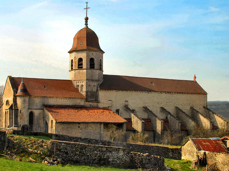
Graye-et-Charnay (Graye-et-Charnay)

- commune in Jura, France
 Hiking in Graye-et-Charnay
Graye-et-Charnay is a commune in the Côte-d'Or department in the Burgundy region of France. While it may not be as well-known for hiking as larger national parks or mountainous regions, it offers charming landscapes that can appeal to outdoor enthusiasts.
Hiking Opportunities
-
Scenic Trails: The region features picturesque rural landscapes, vineyards, and rolling hills. You can often find trails that connect local villages and provide beautiful views of the Burgundy countryside.
-
Local Routes: Check for local marked hiking routes that might include points of interest such as historical sites, natural features, and local flora and fauna. These may not be extensive but can provide a delightful experience.
-
Nearby Options: If you are looking for more extensive hiking experiences, consider exploring nearby natural parks or the Côte-d'Or region, known for its vineyards and stunning views. The Parc Naturel Régional du Morvan is a bit further afield, offering more challenging hikes and diverse terrains.
Preparation Tips
-
Maps and Guides: Always carry a detailed map or guidebook, which you can usually find at local tourist offices or online resources.
-
Weather Considerations: Check the weather forecast before heading out, as conditions can change quickly in the countryside.
-
Take Essentials: Bring enough water, snacks, a first-aid kit, and wear proper hiking footwear.
-
Respect the Environment: Follow Leave No Trace principles to preserve the beauty of the landscape.
Local Culture
Graye-et-Charnay is part of a region rich in culinary traditions, so consider sampling local wines and dishes after your hike. This adds a cultural experience to your outdoor adventure.
Conclusion
While Graye-et-Charnay may not be the primary hiking destination in France, it provides a peaceful escape with opportunities for lovely walks through beautiful countryside. Exploring the wider Burgundy region can enhance your hiking experience, offering varied terrains and stunning landscapes.
- Country:

- Postal Code: 39320
- Coordinates: 46° 28' 5" N, 5° 27' 8" E


- GPS tracks (wikiloc): [Link]
- Area: 6.31 sq km
- Population: 136
- Wikipedia en: wiki(en)
- Wikipedia: wiki(fr)
- Wikidata storage: Wikidata: Q321711
- Wikipedia Commons Category: [Link]
- Freebase ID: [/m/03npjpp]
- GeoNames ID: Alt: [6433578]
- SIREN number: [213902612]
- BnF ID: [15258624t]
- PACTOLS thesaurus ID: [pcrteaJEKycYVp]
- INSEE municipality code: 39261
Shares border with regions:


Chevreaux
- commune in Jura, France
Hiking in Chevreaux
Chevreaux is a scenic area known for its beautiful landscapes and outdoor recreational opportunities, making it a fantastic spot for hiking enthusiasts. While specific trails and details may vary, here are some general points about hiking in Chevreaux:...
- Country:
- Postal Code: 39190
- Coordinates: 46° 30' 33" N, 5° 24' 16" E
- GPS tracks (wikiloc): [Link]
- Area: 6.12 sq km
- Population: 126

Gigny
- commune in Jura, France
Hiking in Gigny
Gigny is a small village in the Jura region of France, known for its beautiful natural landscapes, rolling hills, and picturesque views. Hiking in Gigny can be a delightful experience for outdoor enthusiasts as the Jura Mountains offer a variety of trails that cater to different skill levels....
- Country:
- Postal Code: 39320
- Coordinates: 46° 27' 7" N, 5° 27' 40" E
- GPS tracks (wikiloc): [Link]
- AboveSeaLevel: 450 м m
- Area: 16.04 sq km
- Population: 286


Loisia
- commune in Jura, France
Hiking in Loisia
Loisia isn't a widely recognized destination for hiking, so it's possible you may be referring to a specific local area, park, or mountain range that isn't commonly known. However, if you meant "Laos," "Loisia" could be a typographical error. Laos, a country in Southeast Asia, is known for its beautiful landscapes and rich cultural heritage, making it a great destination for hiking....
- Country:
- Postal Code: 39320
- Coordinates: 46° 29' 6" N, 5° 27' 46" E
- GPS tracks (wikiloc): [Link]
- Area: 11.58 sq km
- Population: 166


Véria
- commune in Jura, France
Hiking in Véria
Véria, located in the Jura region of France, offers stunning landscapes and diverse hiking opportunities. The Jura Mountains are known for their rolling hills, dense forests, picturesque lakes, and unique geological formations....
- Country:
- Postal Code: 39160
- Coordinates: 46° 27' 4" N, 5° 25' 26" E
- GPS tracks (wikiloc): [Link]
- Area: 10.09 sq km
- Population: 123