Homécourt (Homécourt)
- commune in Meurthe-et-Moselle, France
- Country:

- Postal Code: 54310
- Coordinates: 49° 13' 23" N, 5° 59' 34" E


- GPS tracks (wikiloc): [Link]
- Area: 4.44 sq km
- Population: 6157
- Web site: http://www.ville-homecourt.com
- Wikipedia en: wiki(en)
- Wikipedia: wiki(fr)
- Wikidata storage: Wikidata: Q1065731
- Wikipedia Commons Category: [Link]
- Freebase ID: [/m/03qdj4x]
- Freebase ID: [/m/03qdj4x]
- Freebase ID: [/m/03qdj4x]
- GeoNames ID: Alt: [6436664]
- GeoNames ID: Alt: [6436664]
- GeoNames ID: Alt: [6436664]
- SIREN number: [215402637]
- SIREN number: [215402637]
- SIREN number: [215402637]
- BnF ID: [15264332v]
- BnF ID: [15264332v]
- BnF ID: [15264332v]
- VIAF ID: Alt: [234250651]
- VIAF ID: Alt: [234250651]
- VIAF ID: Alt: [234250651]
- INSEE municipality code: 54263
- INSEE municipality code: 54263
- INSEE municipality code: 54263
Shares border with regions:

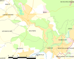
Moutiers
- commune in Meurthe-et-Moselle, France
- Country:

- Postal Code: 54660
- Coordinates: 49° 14' 3" N, 5° 57' 50" E


- GPS tracks (wikiloc): [Link]
- Area: 6.82 sq km
- Population: 1574
- Web site: [Link]
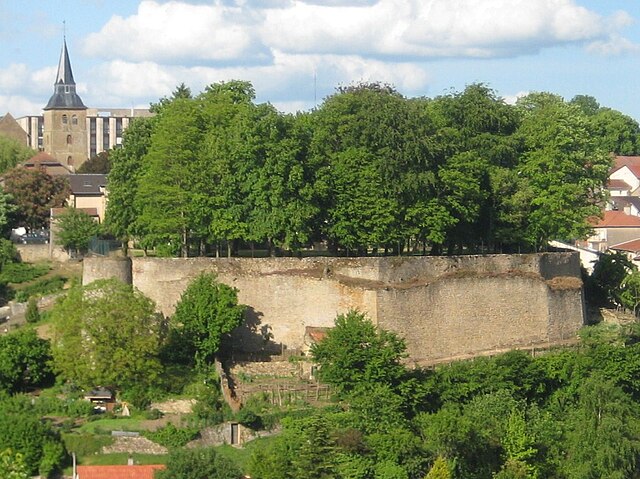
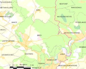
Briey
- former commune in Meurthe-et-Moselle, France
- Country:

- Postal Code: 54150
- Coordinates: 49° 14' 55" N, 5° 56' 22" E


- GPS tracks (wikiloc): [Link]
- AboveSeaLevel: 240 м m
- Area: 27.13 sq km
- Population: 5819
- Web site: [Link]

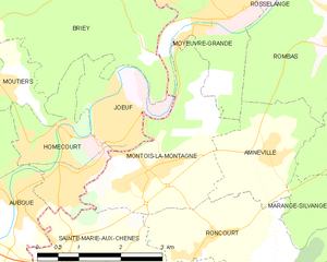
Montois-la-Montagne
- commune in Moselle, France
- Country:

- Postal Code: 57860
- Coordinates: 49° 13' 3" N, 6° 1' 20" E


- GPS tracks (wikiloc): [Link]
- Area: 7.1 sq km
- Population: 2562
- Web site: [Link]


Sainte-Marie-aux-Chênes
- commune in Moselle, France
- Country:

- Postal Code: 57255
- Coordinates: 49° 11' 30" N, 6° 0' 8" E


- GPS tracks (wikiloc): [Link]
- Area: 10.19 sq km
- Population: 4104
- Web site: [Link]

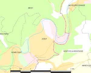
Jœuf
- commune in Meurthe-et-Moselle, France
- Country:

- Postal Code: 54240
- Coordinates: 49° 13' 47" N, 6° 0' 32" E


- GPS tracks (wikiloc): [Link]
- Area: 3.18 sq km
- Population: 6518


Auboué
- commune in Meurthe-et-Moselle, France
- Country:

- Postal Code: 54580
- Coordinates: 49° 12' 43" N, 5° 58' 37" E


- GPS tracks (wikiloc): [Link]
- Area: 4.54 sq km
- Population: 2509
