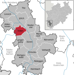
Inden (Inden)
- municipality in the Düren district, in North Rhine-Westphalia, Germany
Inden, a charming village in North Rhine-Westphalia, Germany, is surrounded by scenic landscapes that make it an appealing destination for hikers. While Inden itself may not be a well-known hiking hotspot, there are several trails and natural areas nearby that offer excellent hiking experiences.
Trails and Natural Areas:
-
Inden’s Surroundings:
- The village is located near the Rur River, where you can find pleasant walking and hiking paths along the water. The riverbanks offer lovely views and a peaceful ambiance.
-
Nature Parks:
- Nearby, the Königsdorf Nature Park features various trails ranging from easy strolls to more challenging hikes. This area is characterized by diverse flora and fauna, making it excellent for nature enthusiasts.
-
Hambach Forest:
- Not too far from Inden, the Hambach Forest is famous for its ancient trees and environmental significance. There are numerous trails through the forest where you can explore its beauty and learn about local wildlife.
-
Rur River Cycle Route:
- Although primarily a cycling route, parts of the Rur River Cycle Route are suitable for hiking. This scenic trail follows the river and leads through picturesque villages and meadows.
Tips for Hiking in Inden:
-
Trail Maps: Always take a trail map or a GPS device to help navigate the routes, especially if you're venturing into less marked areas.
-
Appropriate Gear: Wear sturdy hiking boots and dress in layers, as weather can change quickly, especially in forested areas.
-
Hydration and Snacks: Carry enough water and snacks, as some trails may not have rest facilities along the way.
-
Respect Nature: Stick to marked paths to protect local flora and fauna, and be mindful of any guidelines specific to the area.
-
Local Information: Check with local tourism offices or community centers for updated trail information or guided hikes.
Conclusion:
Hiking in and around Inden can provide a refreshing outdoor experience with beautiful landscapes and a quiet atmosphere. Whether you choose to explore the scenic riverbanks, the lush forests, or the surrounding nature parks, there are plenty of opportunities to enjoy nature while getting some exercise. Happy hiking!
- Country:

- Postal Code: 52459
- Local Dialing Code: 02465; 02423
- Licence Plate Code: DN
- Coordinates: 50° 50' 48" N, 6° 21' 28" E


- GPS tracks (wikiloc): [Link]
- AboveSeaLevel: 106 м m
- Area: 35.92 sq km
- Population: 7426
- Web site: http://www.inden.de
- Wikipedia en: wiki(en)
- Wikipedia: wiki(de)
- Wikidata storage: Wikidata: Q199977
- Wikipedia Commons Category: [Link]
- Freebase ID: [/m/0bfm5w]
- GeoNames ID: Alt: [6553055]
- VIAF ID: Alt: [154052877]
- OSM relation ID: [162463]
- GND ID: Alt: [4195025-2]
- MusicBrainz area ID: [18ce8535-fce2-431d-81aa-e1b267c5fab8]
- WOEID: [663512]
- Historical Gazetteer (GOV) ID: [INDDENJO30EU]
- German municipality key: 05358020
Shares border with regions:
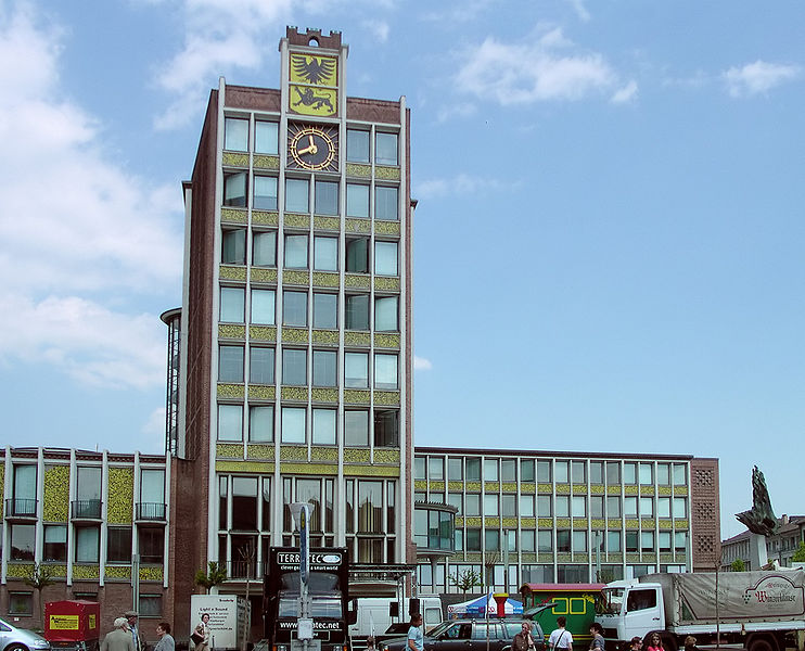
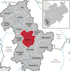
Düren
- town in the Düren district, in North Rhine-Westphalia, Germany
Düren, a town in North Rhine-Westphalia, Germany, offers several hiking opportunities that allow you to explore the surrounding landscape and enjoy nature. Here’s an overview of what you can expect when hiking in and around Düren:...
- Country:

- Postal Code: 52355; 52353; 52349; 52351
- Local Dialing Code: 02421
- Licence Plate Code: DN
- Coordinates: 50° 48' 0" N, 6° 29' 0" E


- GPS tracks (wikiloc): [Link]
- AboveSeaLevel: 125 м m
- Area: 85 sq km
- Population: 90502
- Web site: [Link]
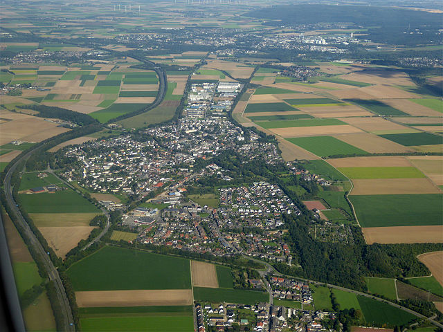

Aldenhoven
- municipality in the Düren district, in North Rhine-Westphalia, Germany
Aldenhoven, located in the state of North Rhine-Westphalia in Germany, offers a variety of hiking opportunities for nature enthusiasts. The region is characterized by its picturesque landscapes, charming villages, and extensive trail networks that cater to hikers of all experience levels. Here are some aspects to consider when hiking in Aldenhoven and the surrounding areas:...
- Country:

- Postal Code: 52457
- Local Dialing Code: 02464
- Licence Plate Code: DN
- Coordinates: 50° 54' 0" N, 6° 17' 0" E


- GPS tracks (wikiloc): [Link]
- AboveSeaLevel: 111 м m
- Area: 44.26 sq km
- Population: 13877
- Web site: [Link]


Langerwehe
- municipality in the Düren district, in North Rhine-Westphalia, Germany
Langerwehe is a small town located in North Rhine-Westphalia, Germany, nestled in the picturesque area of the Rureifel region. While it might not be as well-known as larger hiking destinations, it offers several enjoyable trails that are suitable for different skill levels....
- Country:

- Postal Code: 52379
- Local Dialing Code: 02423
- Licence Plate Code: DN
- Coordinates: 50° 49' 0" N, 6° 20' 59" E


- GPS tracks (wikiloc): [Link]
- AboveSeaLevel: 158 м m
- Area: 41.49 sq km
- Population: 13986
- Web site: [Link]

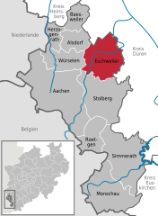
Eschweiler
- city in the district of Aachen, in North Rhine-Westphalia, Germany
Eschweiler, located in the North Rhine-Westphalia region of Germany, offers a variety of hiking opportunities for outdoor enthusiasts. The surrounding landscapes feature scenic views, including lush forests, rolling hills, and rivers, which can provide a wonderful backdrop for your hiking adventures....
- Country:

- Postal Code: 52249
- Local Dialing Code: 02403
- Licence Plate Code: AC, MON
- Coordinates: 50° 49' 0" N, 6° 17' 0" E


- GPS tracks (wikiloc): [Link]
- AboveSeaLevel: 135 м m
- Area: 75.87 sq km
- Population: 56207
- Web site: [Link]

