Langerwehe (Langerwehe)
- municipality in the Düren district, in North Rhine-Westphalia, Germany
Langerwehe is a small town located in North Rhine-Westphalia, Germany, nestled in the picturesque area of the Rureifel region. While it might not be as well-known as larger hiking destinations, it offers several enjoyable trails that are suitable for different skill levels.
Hiking Opportunities in Langerwehe:
-
Local Trails: There are various marked hiking trails around Langerwehe, featuring scenic views of the surrounding countryside, forests, and meadows. These trails often connect to larger networks that can lead you further into the Rureifel or around local attractions.
-
Rur River: The nearby Rur River provides opportunities for riverside walks and more extensive hikes along its banks. The gentle slopes and serene environment make it suitable for families and those looking for a leisurely hike.
-
Nature Reserves: Explore local nature reserves, which are home to diverse flora and fauna. Walking through these areas can be rewarding for nature enthusiasts and bird watchers.
-
Local Attractions: Combine your hike with visits to local historical sites, such as churches or mills, which often dot the landscape and add cultural depth to your outdoor experience.
Tips for Hiking in Langerwehe:
-
Trail Maps: Before heading out, ensure you have a good map or hiking app that details the trails in the area. Local tourist information centers can provide helpful insights and suggestions.
-
Weather Preparedness: The weather can change, so check forecasts and dress in layers. Always carry essentials such as water, snacks, and a basic first-aid kit.
-
Footwear: Wear sturdy hiking boots to navigate varied terrain comfortably.
-
Respect Nature: Stick to marked trails, take your litter home, and be considerate of wildlife.
-
Seasonal Considerations: Spring and autumn are particularly lovely times to hike, as temperatures are mild and nature is often at its most vibrant.
Whether you're a beginner or an experienced hiker, Langerwehe and its surroundings offer a peaceful retreat for outdoor enthusiasts. Enjoy your hike!
- Country:

- Postal Code: 52379
- Local Dialing Code: 02423
- Licence Plate Code: DN
- Coordinates: 50° 49' 0" N, 6° 20' 59" E


- GPS tracks (wikiloc): [Link]
- AboveSeaLevel: 158 м m
- Area: 41.49 sq km
- Population: 13986
- Web site: http://www.langerwehe.de
- Wikipedia en: wiki(en)
- Wikipedia: wiki(de)
- Wikidata storage: Wikidata: Q200018
- Wikipedia Commons Category: [Link]
- Freebase ID: [/m/0bfm7n]
- GeoNames ID: Alt: [6553057]
- VIAF ID: Alt: [145517556]
- OSM relation ID: [162550]
- GND ID: Alt: [4034522-1]
- Library of Congress authority ID: Alt: [n87941309]
- MusicBrainz area ID: [297457aa-4788-41db-abea-d5207340d8e6]
- WOEID: [670306]
- Historical Gazetteer (GOV) ID: [LANEHEJO30ET]
- National Library of Israel ID: [001017888]
- FAST ID: [1246581]
- German municipality key: 05358032
- GNS Unique Feature ID: -1816091
Shares border with regions:
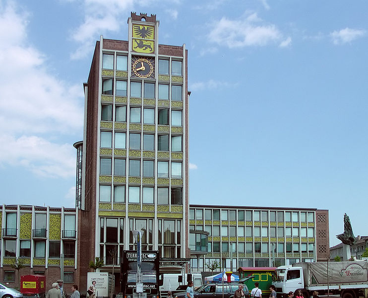
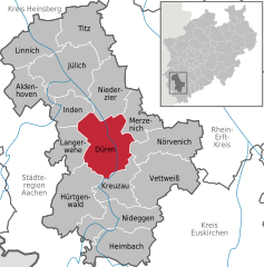
Düren
- town in the Düren district, in North Rhine-Westphalia, Germany
Düren, a town in North Rhine-Westphalia, Germany, offers several hiking opportunities that allow you to explore the surrounding landscape and enjoy nature. Here’s an overview of what you can expect when hiking in and around Düren:...
- Country:

- Postal Code: 52355; 52353; 52349; 52351
- Local Dialing Code: 02421
- Licence Plate Code: DN
- Coordinates: 50° 48' 0" N, 6° 29' 0" E


- GPS tracks (wikiloc): [Link]
- AboveSeaLevel: 125 м m
- Area: 85 sq km
- Population: 90502
- Web site: [Link]
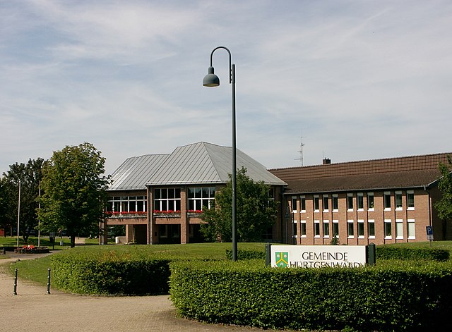

Hürtgenwald
- municipality in the Düren district, in North Rhine-Westphalia, Germany
Hürtgenwald, located in North Rhine-Westphalia, Germany, is known for its lush forests, rolling hills, and rich history, making it a fantastic destination for hikers. The area is characterized by its dense woodlands and diverse flora and fauna, offering a peaceful environment for outdoor enthusiasts. Here’s what you need to know about hiking in Hürtgenwald:...
- Country:

- Postal Code: 52393
- Local Dialing Code: 02429
- Licence Plate Code: DN
- Coordinates: 50° 43' 0" N, 6° 22' 0" E


- GPS tracks (wikiloc): [Link]
- AboveSeaLevel: 380 м m
- Area: 88.05 sq km
- Population: 8644
- Web site: [Link]

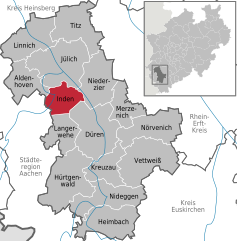
Inden
- municipality in the Düren district, in North Rhine-Westphalia, Germany
Inden, a charming village in North Rhine-Westphalia, Germany, is surrounded by scenic landscapes that make it an appealing destination for hikers. While Inden itself may not be a well-known hiking hotspot, there are several trails and natural areas nearby that offer excellent hiking experiences....
- Country:

- Postal Code: 52459
- Local Dialing Code: 02465; 02423
- Licence Plate Code: DN
- Coordinates: 50° 50' 48" N, 6° 21' 28" E


- GPS tracks (wikiloc): [Link]
- AboveSeaLevel: 106 м m
- Area: 35.92 sq km
- Population: 7426
- Web site: [Link]
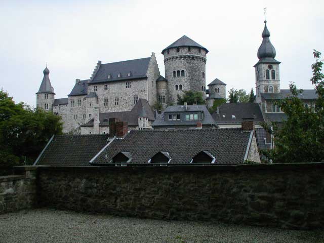

Stolberg
- city in the district of Aachen, in North Rhine-Westphalia, Germany
Stolberg is located in the Rhineland region of Germany and is surrounded by beautiful landscapes that are perfect for hiking enthusiasts. Here are some highlights and tips for hiking in and around Stolberg:...
- Country:

- Postal Code: 52224; 52223; 52222
- Local Dialing Code: 02409; 02408; 02402
- Licence Plate Code: AC
- Coordinates: 50° 46' 0" N, 6° 14' 0" E


- GPS tracks (wikiloc): [Link]
- AboveSeaLevel: 260 м m
- Area: 98.48 sq km
- Population: 56751
- Web site: [Link]

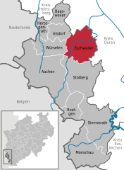
Eschweiler
- city in the district of Aachen, in North Rhine-Westphalia, Germany
Eschweiler, located in the North Rhine-Westphalia region of Germany, offers a variety of hiking opportunities for outdoor enthusiasts. The surrounding landscapes feature scenic views, including lush forests, rolling hills, and rivers, which can provide a wonderful backdrop for your hiking adventures....
- Country:

- Postal Code: 52249
- Local Dialing Code: 02403
- Licence Plate Code: AC, MON
- Coordinates: 50° 49' 0" N, 6° 17' 0" E


- GPS tracks (wikiloc): [Link]
- AboveSeaLevel: 135 м m
- Area: 75.87 sq km
- Population: 56207
- Web site: [Link]


