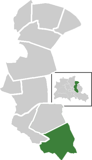
Köpenick (Köpenick)

- locality of Berlin
 Hiking in Köpenick
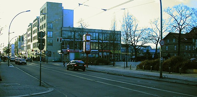
Köpenick is a district in the southeast of Berlin, Germany, and is known for its beautiful natural landscapes, historic architecture, and proximity to water. While Köpenick itself is more urban than rural, there are several opportunities for hiking and outdoor activities in and around the area. Here are some highlights for hiking in Köpenick:
-
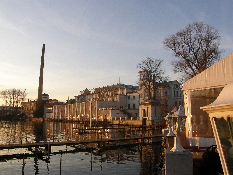
Schmöckwitz and the Müggelsee: To the southeast of Köpenick, you'll find the Müggelsee, the largest lake in Berlin, surrounded by lush forests and hiking trails. The area offers various paths along the lakeshore and through nearby woodlands. The scenery is picturesque, especially in the warmer months, and can be an excellent spot for a day hike.
-
Waldschlößchen: This small forest area is also located nearby and offers trails that weave through trees and undergrowth. It’s a quieter spot, ideal for those looking for a peaceful hike without venturing too far from the city.
-
Nicolassee: Just to the north of Müggelsee, this smaller lake has a lovely walking path around it, making it a perfect spot for a leisurely stroll or a family-friendly hike.
-
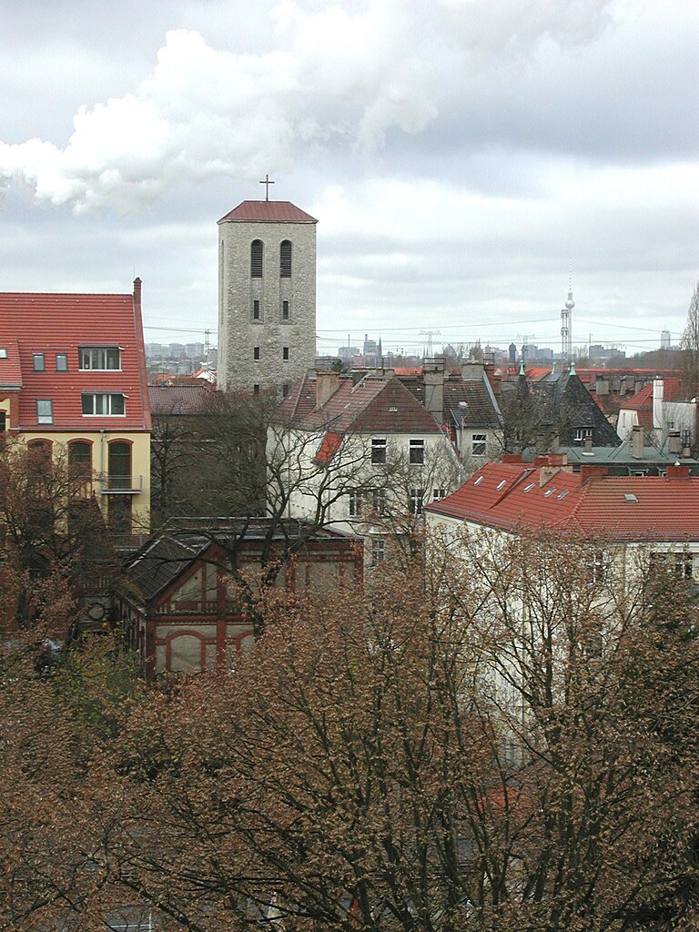
Historic Trails: Köpenick itself is rich in history, with sites like the Köpenick Castle and the old town, where you can explore on foot. Consider blending your hikes with historical exploration, taking time to enjoy the architecture and cultural landmarks along your route.
-
Spree River Trails: The Spree River runs through Köpenick, and there are trails along the riverbank. These paths are often well-maintained and can be great for a longer hike or a relaxing walk by the water.
-
Landweg and Green Spaces: The district has several parks and green areas, such as the "Köpenicker Forst," which offers numerous trails through forests and fields, perfect for both hiking and enjoying nature.
-
Accessibility: Köpenick is well-connected by public transport to the rest of Berlin, making it accessible for both residents and visitors. You can easily reach the hiking spots by train or tram.
Tips for Hiking in Köpenick:
- Wear proper footwear: Make sure you have good hiking shoes or boots, especially if you’re exploring forested areas.
- Bring water and snacks: It's always important to stay hydrated and have energy-boosting snacks on hand.
- Check the weather: Berlin’s weather can be unpredictable, so be sure to check the forecast before heading out.
- Respect nature: Leave no trace, stay on marked paths, and be mindful of wildlife and other hikers.
Köpenick may not be the wilderness, but its scenic spots provide a nice escape into nature, even within an urban setting. Enjoy your hiking adventures!
- Country:

- Postal Code: 12587; 12559; 12557; 12555; 12459
- Coordinates: 52° 26' 45" N, 13° 34' 38" E


- GPS tracks (wikiloc): [Link]
- AboveSeaLevel: 32 м m
- Area: 34.9 sq km
- Population: 62569
- Wikipedia en: wiki(en)
- Wikipedia: wiki(de)
- Wikidata storage: Wikidata: Q521521
- Wikipedia Commons Gallery: [Link]
- Wikipedia Commons Category: [Link]
- Wikipedia Commons Maps Category: [Link]
- Freebase ID: [/m/024vc8]
- GeoNames ID: Alt: [2885656]
- VIAF ID: Alt: [160186029]
- GND ID: Alt: [4087322-5]
- archINFORM location ID: [3620]
- Quora topic ID: [Köpenick]
Shares border with regions:

Friedrichshagen
- locality of Berlin
Hiking in Friedrichshagen
Friedrichshagen is a charming district located in the eastern part of Berlin, Germany. It’s situated along the shores of the Müggelsee, which is the largest lake in Berlin, and surrounded by beautiful natural landscapes, making it a great spot for hiking and outdoor activities....
- Country:
- Coordinates: 52° 27' 0" N, 13° 37' 0" E
- GPS tracks (wikiloc): [Link]
- AboveSeaLevel: 38 м m
- Area: 14 sq km
- Population: 18793


Rahnsdorf
- locality of Berlin
Hiking in Rahnsdorf
Rahnsdorf, a picturesque neighborhood located in the eastern part of Berlin, Germany, offers some charming hiking opportunities, particularly for those looking to escape the hustle and bustle of city life and enjoy some natural landscapes. While not as mountainous as some other hiking destinations, Rahnsdorf is surrounded by beautiful areas that provide lovely trails....
- Country:
- Coordinates: 52° 26' 0" N, 13° 42' 0" E
- GPS tracks (wikiloc): [Link]
- AboveSeaLevel: 36 м m
- Area: 21.5 sq km


Mahlsdorf
- locality of Berlin
Hiking in Mahlsdorf
Mahlsdorf is a district located in the eastern part of Berlin, Germany. While not typically known as a hiking destination like some of the more mountainous regions of Germany, it does offer some pleasant walking and hiking opportunities within and around the area....
- Country:
- Postal Code: 12623
- Coordinates: 52° 30' 22" N, 13° 36' 54" E
- GPS tracks (wikiloc): [Link]
- AboveSeaLevel: 53 м m
- Area: 12.94 sq km
- Population: 27504

Adlershof
- locality of Berlin, Germany
Hiking in Adlershof
Adlershof is a neighborhood in Berlin, Germany, primarily known for its historical significance and technological developments. While it may not be renowned for hiking in the traditional sense, there are several opportunities for outdoor activities and exploring nature in nearby areas....
- Country:
- Coordinates: 52° 26' 16" N, 13° 32' 51" E
- GPS tracks (wikiloc): [Link]
- AboveSeaLevel: 37 м m
- Area: 6.11 sq km
- Population: 15294


Grünau
- locality of Berlin
Hiking in Grünau
Grünau is a lovely district located in the southeastern part of Berlin, surrounded by beautiful nature, including the scenic shores of the Dahme River and various lakes. While it may not be as expansive in hiking trails as some national parks, it offers several appealing routes for outdoor enthusiasts. Here are some highlights:...
- Country:
- Coordinates: 52° 25' 0" N, 13° 34' 0" E
- GPS tracks (wikiloc): [Link]
- AboveSeaLevel: 35 м m
- Area: 9.13 sq km


Niederschöneweide
- locality of Berlin
Hiking in Niederschöneweide
Niederschöneweide is a district in the southern part of Berlin, Germany, located along the banks of the River Spree. While it may not be as widely recognized as a traditional hiking destination compared to other more nature-centric areas, it offers some unique opportunities for outdoor activities and exploration....
- Country:
- Coordinates: 52° 27' 22" N, 13° 30' 47" E
- GPS tracks (wikiloc): [Link]
- AboveSeaLevel: 36 м m
- Area: 3.49 sq km
- Population: 10446


Müggelheim
- locality of Berlin
Hiking in Müggelheim
Müggelheim, located in the district of Treptow-Köpenick in Berlin, Germany, is a great destination for hiking enthusiasts seeking a blend of nature, tranquility, and scenic views. This area is known for its lush forests, serene lakes, and extensive walking trails. Here are some highlights and tips for hiking in Müggelheim:...
- Country:
- Coordinates: 52° 24' 0" N, 13° 39' 0" E
- GPS tracks (wikiloc): [Link]
- AboveSeaLevel: 36 м m
- Area: 22.2 sq km
- Population: 6463


Oberschöneweide
- locality of Berlin
Hiking in Oberschöneweide
Oberschöneweide is a district in the borough of Treptow-Köpenick in Berlin, Germany. While it's primarily known for its industrial history and urban environment, there are still opportunities for hiking and enjoying nature in and around the area....
- Country:
- Coordinates: 52° 27' 43" N, 13° 30' 54" E
- GPS tracks (wikiloc): [Link]
- AboveSeaLevel: 36 м m
- Area: 6.18 sq km
- Population: 18919


Kaulsdorf
- locality of Berlin
Hiking in Kaulsdorf
Kaulsdorf is a district in the borough of Marzahn-Hellersdorf in Berlin, and while it may not be as well-known for hiking as some of the natural parks outside the city, there are still opportunities to explore the outdoors in and around the area. Here are some points to consider if you’re looking to hike in or near Kaulsdorf:...
- Country:
- Postal Code: 12619; 12621
- Coordinates: 52° 30' 29" N, 13° 34' 51" E
- GPS tracks (wikiloc): [Link]
- AboveSeaLevel: 55 м m
- Area: 8.81 sq km
- Population: 18656


Biesdorf
- locality of Berlin
Hiking in Biesdorf
Biesdorf is a district located in the eastern part of Berlin, Germany. While it is primarily an urban area, there are still outdoor opportunities for walking and enjoying nature. Here are some highlights for hiking or walking in and around Biesdorf:...
- Country:
- Postal Code: 12683
- Coordinates: 52° 30' 33" N, 13° 33' 19" E
- GPS tracks (wikiloc): [Link]
- AboveSeaLevel: 44 м m
- Area: 12.44 sq km
- Population: 25622
Karlshorst
- locality of Berlin
Hiking in Karlshorst
Karlshorst, a district in Berlin, Germany, is not typically known as a traditional hiking destination, as it is more urbanized compared to rural nature areas. However, there are opportunities for walking and enjoying the outdoors in and around the area. Here are some details and suggestions for a hiking-like experience in Karlshorst:...
- Country:
- Coordinates: 52° 28' 57" N, 13° 31' 33" E
- GPS tracks (wikiloc): [Link]
- AboveSeaLevel: 36 м m
- Area: 6.6 sq km