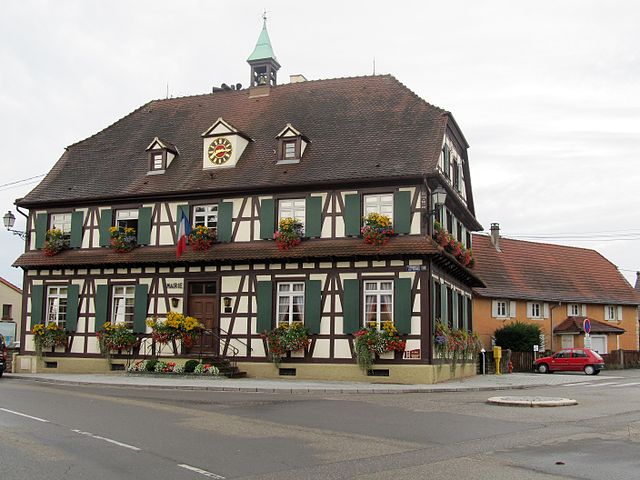
Kilstett (Kilstett)

- commune in Bas-Rhin, France
- Country:

- Postal Code: 67840
- Coordinates: 48° 40' 32" N, 7° 51' 22" E


- GPS tracks (wikiloc): [Link]
- Area: 6.9 sq km
- Population: 2566
- Wikipedia en: wiki(en)
- Wikipedia: wiki(fr)
- Wikidata storage: Wikidata: Q21555
- Wikipedia Commons Category: [Link]
- Freebase ID: [/m/03m98sg]
- Freebase ID: [/m/03m98sg]
- GeoNames ID: Alt: [3011458]
- GeoNames ID: Alt: [3011458]
- SIREN number: [216702373]
- SIREN number: [216702373]
- BnF ID: [152713790]
- BnF ID: [152713790]
- VIAF ID: Alt: [239220332]
- VIAF ID: Alt: [239220332]
- GND ID: Alt: [4805537-2]
- GND ID: Alt: [4805537-2]
- INSEE municipality code: 67237
- INSEE municipality code: 67237
Shares border with regions:

Gambsheim
- commune in Bas-Rhin, France
- Country:
- Postal Code: 67760
- Coordinates: 48° 41' 32" N, 7° 53' 0" E
- GPS tracks (wikiloc): [Link]
- Area: 17.38 sq km
- Population: 4726


Weyersheim
- commune in Bas-Rhin, France
- Country:
- Postal Code: 67720
- Coordinates: 48° 42' 59" N, 7° 48' 14" E
- GPS tracks (wikiloc): [Link]
- Area: 18.89 sq km
- Population: 3329


La Wantzenau
- commune in Bas-Rhin, France
- Country:
- Postal Code: 67610
- Coordinates: 48° 39' 29" N, 7° 49' 42" E
- GPS tracks (wikiloc): [Link]
- Area: 25.39 sq km
- Population: 5768
- Web site: [Link]


Hœrdt
- commune in Bas-Rhin, France
- Country:
- Postal Code: 67720
- Coordinates: 48° 41' 47" N, 7° 47' 2" E
- GPS tracks (wikiloc): [Link]
- Area: 16.56 sq km
- Population: 4337
- Web site: [Link]