La Châtre-Langlin (La Châtre-Langlin)
- commune in Indre, France
- Country:

- Postal Code: 36170
- Coordinates: 46° 24' 30" N, 1° 23' 21" E


- GPS tracks (wikiloc): [Link]
- Area: 27.4 sq km
- Population: 548
- Wikipedia en: wiki(en)
- Wikipedia: wiki(fr)
- Wikidata storage: Wikidata: Q1060674
- Wikipedia Commons Category: [Link]
- INSEE municipality code: 36047
Shares border with regions:

Cromac
- commune in Haute-Vienne, France
- Country:
- Postal Code: 87160
- Coordinates: 46° 20' 32" N, 1° 18' 0" E
- GPS tracks (wikiloc): [Link]
- Area: 24.15 sq km
- Population: 255


Parnac
- commune in Indre, France
- Country:
- Postal Code: 36170
- Coordinates: 46° 27' 12" N, 1° 26' 32" E
- GPS tracks (wikiloc): [Link]
- Area: 46.75 sq km
- Population: 508
- Web site: [Link]

Mouhet
- commune in Indre, France
- Country:
- Postal Code: 36170
- Coordinates: 46° 22' 59" N, 1° 26' 0" E
- GPS tracks (wikiloc): [Link]
- Area: 32.26 sq km
- Population: 479


Les Grands-Chézeaux
- commune in Haute-Vienne, France
- Country:
- Postal Code: 87160
- Coordinates: 46° 21' 8" N, 1° 23' 36" E
- GPS tracks (wikiloc): [Link]
- Area: 13.51 sq km
- Population: 246

Chaillac
- commune in Indre, France
- Country:
- Postal Code: 36310
- Coordinates: 46° 26' 4" N, 1° 17' 56" E
- GPS tracks (wikiloc): [Link]
- Area: 59.79 sq km
- Population: 1076

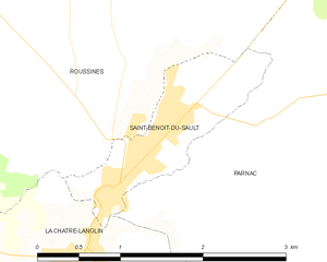
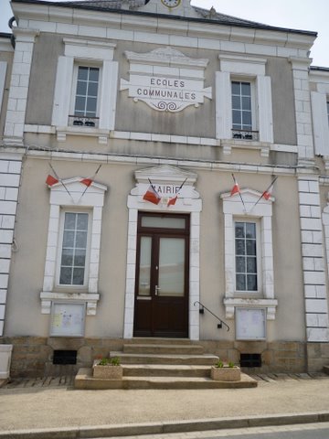
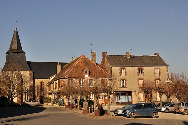
Saint-Benoît-du-Sault
- commune in Indre, France
- Country:
- Postal Code: 36170
- Coordinates: 46° 26' 26" N, 1° 23' 26" E
- GPS tracks (wikiloc): [Link]
- Area: 1.8 sq km
- Population: 612
- Web site: [Link]

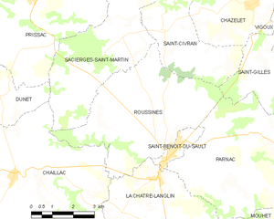
Roussines
- commune in Indre, France
- Country:
- Postal Code: 36170
- Coordinates: 46° 28' 7" N, 1° 23' 22" E
- GPS tracks (wikiloc): [Link]
- Area: 22.98 sq km
- Population: 354