La Chapelle-Lasson (La Chapelle-Lasson)
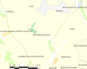
- commune in Marne, France
- Country:

- Postal Code: 51260
- Coordinates: 48° 37' 38" N, 3° 49' 56" E


- GPS tracks (wikiloc): [Link]
- Area: 15.04 sq km
- Population: 85
- Wikipedia en: wiki(en)
- Wikipedia: wiki(fr)
- Wikidata storage: Wikidata: Q1161968
- Wikipedia Commons Category: [Link]
- Freebase ID: [/m/03qd4ym]
- GeoNames ID: Alt: [6456173]
- SIREN number: [215101189]
- BnF ID: [15262739w]
- PACTOLS thesaurus ID: [pcrt0iJnprk10T]
- INSEE municipality code: 51127
Shares border with regions:


Allemanche-Launay-et-Soyer
- commune in Marne, France
- Country:

- Postal Code: 51260
- Coordinates: 48° 36' 16" N, 3° 47' 17" E


- GPS tracks (wikiloc): [Link]
- AboveSeaLevel: 77 м m
- Area: 15.24 sq km
- Population: 103


Queudes
- commune in Marne, France
- Country:

- Postal Code: 51120
- Coordinates: 48° 39' 25" N, 3° 45' 35" E


- GPS tracks (wikiloc): [Link]
- Area: 10.06 sq km
- Population: 99


Gaye
- commune in Marne, France
- Country:

- Postal Code: 51120
- Coordinates: 48° 40' 59" N, 3° 48' 9" E


- GPS tracks (wikiloc): [Link]
- Area: 21.13 sq km
- Population: 593


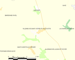
Villeneuve-Saint-Vistre-et-Villevotte
- commune in Marne, France
- Country:

- Postal Code: 51120
- Coordinates: 48° 38' 2" N, 3° 45' 35" E


- GPS tracks (wikiloc): [Link]
- AboveSeaLevel: 89 м m
- Area: 9.51 sq km
- Population: 123


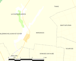
Marsangis
- commune in Marne, France
- Country:

- Postal Code: 51260
- Coordinates: 48° 36' 20" N, 3° 50' 10" E


- GPS tracks (wikiloc): [Link]
- Area: 6.74 sq km
- Population: 51


Marigny
- commune in Marne, France
- Country:

- Postal Code: 51230
- Coordinates: 48° 39' 49" N, 3° 51' 59" E


- GPS tracks (wikiloc): [Link]
- Area: 11.73 sq km
- Population: 108


Thaas
- commune in Marne, France
- Country:

- Postal Code: 51230
- Coordinates: 48° 38' 55" N, 3° 52' 46" E


- GPS tracks (wikiloc): [Link]
- Area: 10.47 sq km
- Population: 100
