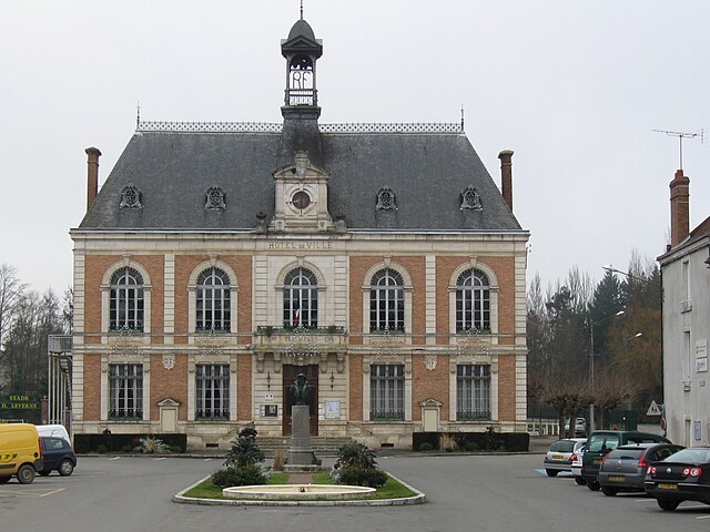
La Chapelle-sur-Aveyron (La Chapelle-sur-Aveyron)
- commune in Loiret, France
- Country:

- Postal Code: 45230
- Coordinates: 47° 52' 0" N, 2° 51' 44" E


- GPS tracks (wikiloc): [Link]
- Area: 19.03 sq km
- Population: 661
- Wikipedia en: wiki(en)
- Wikipedia: wiki(fr)
- Wikidata storage: Wikidata: Q1159233
- Wikipedia Commons Category: [Link]
- Freebase ID: [/m/03nwgkc]
- GeoNames ID: Alt: [6456926]
- SIREN number: [214500779]
- BnF ID: [15260470q]
- INSEE municipality code: 45077
Shares border with regions:


Montbouy
- commune in Loiret, France
- Country:

- Postal Code: 45230
- Coordinates: 47° 51' 41" N, 2° 49' 12" E


- GPS tracks (wikiloc): [Link]
- Area: 26.73 sq km
- Population: 745
- Web site: [Link]


Châtillon-Coligny
- commune in Loiret, France
- Country:

- Postal Code: 45230
- Coordinates: 47° 49' 22" N, 2° 50' 47" E


- GPS tracks (wikiloc): [Link]
- Area: 25.53 sq km
- Population: 1911
- Web site: [Link]


Château-Renard
- commune in Loiret, France
- Country:

- Postal Code: 45220
- Coordinates: 47° 55' 50" N, 2° 55' 39" E


- GPS tracks (wikiloc): [Link]
- Area: 40.34 sq km
- Population: 2237
- Web site: [Link]


Saint-Maurice-sur-Aveyron
- commune in Loiret, France
- Country:

- Postal Code: 45230
- Coordinates: 47° 51' 4" N, 2° 55' 38" E


- GPS tracks (wikiloc): [Link]
- Area: 53.76 sq km
- Population: 859
- Web site: [Link]
Melleroy
- commune in Loiret, France
- Country:

- Postal Code: 45220
- Coordinates: 47° 53' 41" N, 2° 57' 8" E


- GPS tracks (wikiloc): [Link]
- Area: 24.23 sq km
- Population: 502
