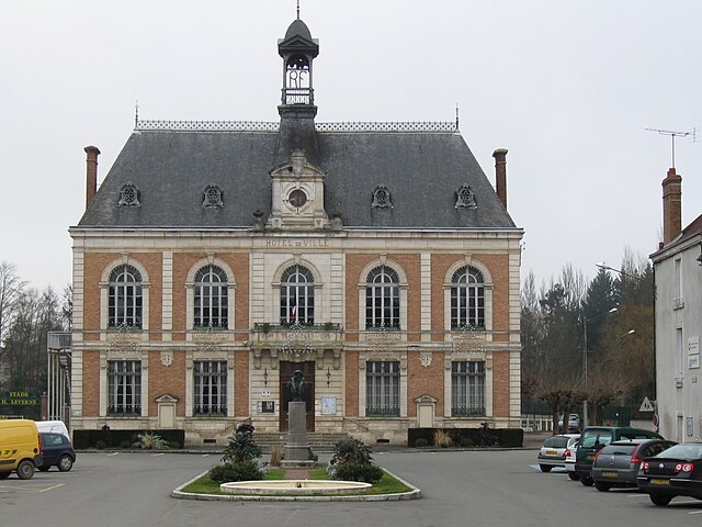
Saint-Maurice-sur-Aveyron (Saint-Maurice-sur-Aveyron)

- commune in Loiret, France
- Country:

- Postal Code: 45230
- Coordinates: 47° 51' 4" N, 2° 55' 38" E


- GPS tracks (wikiloc): [Link]
- Area: 53.76 sq km
- Population: 859
- Web site: http://www.saintmauricesuraveyron.fr
- Wikipedia en: wiki(en)
- Wikipedia: wiki(fr)
- Wikidata storage: Wikidata: Q835262
- Wikipedia Commons Category: [Link]
- Freebase ID: [/m/03nwgrq]
- GeoNames ID: Alt: [2978119]
- SIREN number: [214502924]
- BnF ID: [15260684z]
- VIAF ID: Alt: [179337209]
- Library of Congress authority ID: Alt: [no2011127678]
- INSEE municipality code: 45292
Shares border with regions:
Le Charme
- commune in Loiret, France
- Country:
- Postal Code: 45230
- Coordinates: 47° 47' 59" N, 2° 59' 41" E
- GPS tracks (wikiloc): [Link]
- Area: 13.82 sq km
- Population: 146


La Chapelle-sur-Aveyron
- commune in Loiret, France
- Country:
- Postal Code: 45230
- Coordinates: 47° 52' 0" N, 2° 51' 44" E
- GPS tracks (wikiloc): [Link]
- Area: 19.03 sq km
- Population: 661


Marchais-Beton
- former commune in Yonne, France
- Country:
- Postal Code: 89120
- Coordinates: 47° 50' 7" N, 3° 2' 55" E
- GPS tracks (wikiloc): [Link]
- Area: 10.95 sq km
- Population: 129
- Web site: [Link]


Fontenouilles
- former commune in Yonne, France
- Country:
- Postal Code: 89120
- Coordinates: 47° 53' 22" N, 3° 2' 46" E
- GPS tracks (wikiloc): [Link]
- Area: 16.48 sq km
- Population: 229


Aillant-sur-Milleron
- commune in Loiret, France
- Country:
- Postal Code: 45230
- Coordinates: 47° 47' 34" N, 2° 55' 47" E
- GPS tracks (wikiloc): [Link]
- Area: 26.93 sq km
- Population: 404
- Web site: [Link]

Châtillon-Coligny
- commune in Loiret, France
- Country:
- Postal Code: 45230
- Coordinates: 47° 49' 22" N, 2° 50' 47" E
- GPS tracks (wikiloc): [Link]
- Area: 25.53 sq km
- Population: 1911
- Web site: [Link]


Chambeugle
- former commune in Yonne, France
- Country:
- Postal Code: 89120
- Coordinates: 47° 51' 37" N, 3° 2' 27" E
- GPS tracks (wikiloc): [Link]
- Area: 7.28 sq km
- Population: 51
Melleroy
- commune in Loiret, France
- Country:
- Postal Code: 45220
- Coordinates: 47° 53' 41" N, 2° 57' 8" E
- GPS tracks (wikiloc): [Link]
- Area: 24.23 sq km
- Population: 502