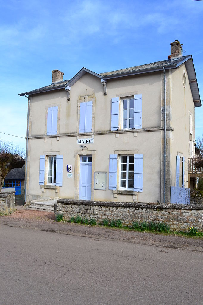
La Collancelle (La Collancelle)

- commune in Nièvre, France
- Country:

- Postal Code: 58800
- Coordinates: 47° 10' 30" N, 3° 38' 25" E


- GPS tracks (wikiloc): [Link]
- Area: 21.95 sq km
- Population: 180
- Web site: http://la-collancelle.monsite.orange.fr
- Wikipedia en: wiki(en)
- Wikipedia: wiki(fr)
- Wikidata storage: Wikidata: Q643997
- Wikipedia Commons Category: [Link]
- Freebase ID: [/m/03qfcd6]
- GeoNames ID: Alt: [6456993]
- SIREN number: [215800806]
- BnF ID: [15266345p]
- PACTOLS thesaurus ID: [pcrtjd2HzDS1IN]
- INSEE municipality code: 58080
Shares border with regions:
Vitry-Laché
- commune in Nièvre, France
- Country:
- Postal Code: 58420
- Coordinates: 47° 12' 1" N, 3° 33' 51" E
- GPS tracks (wikiloc): [Link]
- AboveSeaLevel: 320 м m
- Area: 20.83 sq km
- Population: 88


Sardy-lès-Épiry
- commune in Nièvre, France
- Country:
- Postal Code: 58800
- Coordinates: 47° 11' 35" N, 3° 42' 0" E
- GPS tracks (wikiloc): [Link]
- Area: 15.37 sq km
- Population: 124


Pazy
- commune in Nièvre, France
- Country:
- Postal Code: 58800
- Coordinates: 47° 13' 45" N, 3° 37' 36" E
- GPS tracks (wikiloc): [Link]
- Area: 21.99 sq km
- Population: 311

Achun
- commune in Nièvre, France
- Country:
- Postal Code: 58110
- Coordinates: 47° 7' 28" N, 3° 40' 49" E
- GPS tracks (wikiloc): [Link]
- Area: 24.51 sq km
- Population: 155


Bazolles
- commune in Nièvre, France
- Country:
- Postal Code: 58110
- Coordinates: 47° 8' 33" N, 3° 37' 1" E
- GPS tracks (wikiloc): [Link]
- Area: 28.57 sq km
- Population: 286