canton of Corbigny (canton de Corbigny)
- canton of France
- Country:

- Capital: Corbigny
- Coordinates: 47° 14' 14" N, 3° 43' 26" E


- GPS tracks (wikiloc): [Link]
- Population: 10398
- Wikipedia en: wiki(en)
- Wikipedia: wiki(fr)
- Wikidata storage: Wikidata: Q1410210
- Library of Congress authority ID: Alt: [n93123510]
- INSEE canton code: [5804]
Includes regions:
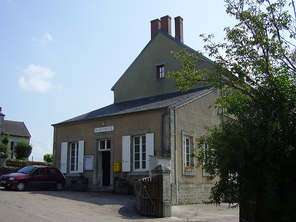
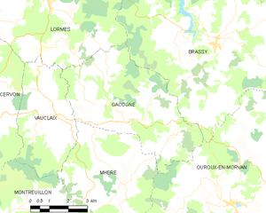
Gâcogne
- commune in Nièvre, France
- Country:

- Postal Code: 58140
- Coordinates: 47° 13' 47" N, 3° 52' 12" E


- GPS tracks (wikiloc): [Link]
- Area: 25.21 sq km
- Population: 252


Mhère
- commune in Nièvre, France
- Country:

- Postal Code: 58140
- Coordinates: 47° 12' 26" N, 3° 51' 21" E


- GPS tracks (wikiloc): [Link]
- Area: 25.25 sq km
- Population: 234
- Web site: [Link]

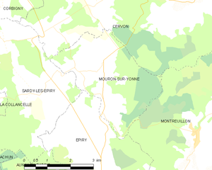
Mouron-sur-Yonne
- commune in Nièvre, France
- Country:

- Postal Code: 58800
- Coordinates: 47° 11' 23" N, 3° 44' 29" E


- GPS tracks (wikiloc): [Link]
- Area: 10.76 sq km
- Population: 98


Magny-Lormes
- commune in Nièvre, France
- Country:

- Postal Code: 58800
- Coordinates: 47° 17' 58" N, 3° 45' 16" E


- GPS tracks (wikiloc): [Link]
- Area: 8.35 sq km
- Population: 73
Chaumot
- commune in Nièvre, France
- Country:

- Postal Code: 58800
- Coordinates: 47° 15' 23" N, 3° 38' 49" E


- GPS tracks (wikiloc): [Link]
- Area: 7.69 sq km
- Population: 163


Vauclaix
- commune in Nièvre, France
- Country:

- Postal Code: 58140
- Coordinates: 47° 13' 56" N, 3° 49' 25" E


- GPS tracks (wikiloc): [Link]
- Area: 14.39 sq km
- Population: 130


Sardy-lès-Épiry
- commune in Nièvre, France
- Country:

- Postal Code: 58800
- Coordinates: 47° 11' 35" N, 3° 42' 0" E


- GPS tracks (wikiloc): [Link]
- Area: 15.37 sq km
- Population: 124


Pazy
- commune in Nièvre, France
- Country:

- Postal Code: 58800
- Coordinates: 47° 13' 45" N, 3° 37' 36" E


- GPS tracks (wikiloc): [Link]
- Area: 21.99 sq km
- Population: 311


Cervon
- commune in Nièvre, France
- Country:

- Postal Code: 58800
- Coordinates: 47° 14' 27" N, 3° 45' 20" E


- GPS tracks (wikiloc): [Link]
- Area: 54.06 sq km
- Population: 632


Epiry
- commune in Nièvre, France
- Country:

- Postal Code: 58800
- Coordinates: 47° 10' 58" N, 3° 43' 21" E


- GPS tracks (wikiloc): [Link]
- Area: 12.13 sq km
- Population: 232

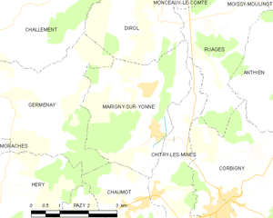
Marigny-sur-Yonne
- commune in Nièvre, France
- Country:

- Postal Code: 58800
- Coordinates: 47° 16' 51" N, 3° 39' 4" E


- GPS tracks (wikiloc): [Link]
- Area: 11.1 sq km
- Population: 200


La Collancelle
- commune in Nièvre, France
- Country:

- Postal Code: 58800
- Coordinates: 47° 10' 30" N, 3° 38' 25" E


- GPS tracks (wikiloc): [Link]
- Area: 21.95 sq km
- Population: 180
- Web site: [Link]


Corbigny
- commune in Nièvre, France
- Country:

- Postal Code: 58800
- Coordinates: 47° 15' 24" N, 3° 41' 1" E


- GPS tracks (wikiloc): [Link]
- Area: 20.06 sq km
- Population: 1525

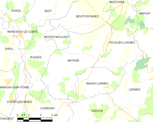
Anthien
- commune in Nièvre, France
- Country:

- Postal Code: 58800
- Coordinates: 47° 18' 44" N, 3° 44' 23" E


- GPS tracks (wikiloc): [Link]
- Area: 19.68 sq km
- Population: 181

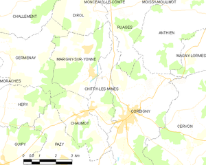
Chitry-les-Mines
- commune in Nièvre, France
- Country:

- Postal Code: 58800
- Coordinates: 47° 15' 38" N, 3° 39' 7" E


- GPS tracks (wikiloc): [Link]
- Area: 6.19 sq km
- Population: 207
