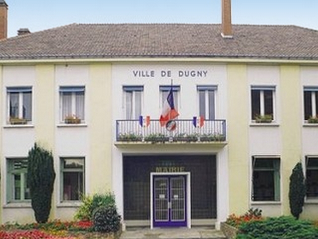
La Courneuve (La Courneuve)
- commune in Seine-Saint-Denis, France
- Country:

- Postal Code: 93120
- Coordinates: 48° 55' 53" N, 2° 23' 45" E


- GPS tracks (wikiloc): [Link]
- AboveSeaLevel: 40 м m
- Area: 7.52 sq km
- Population: 41733
- Web site: http://www.ville-la-courneuve.fr
- Wikipedia en: wiki(en)
- Wikipedia: wiki(fr)
- Wikidata storage: Wikidata: Q244725
- Wikipedia Commons Category: [Link]
- Wikipedia Commons Maps Category: [Link]
- Freebase ID: [/m/085rts]
- Freebase ID: [/m/085rts]
- GeoNames ID: Alt: [3009824]
- GeoNames ID: Alt: [3009824]
- SIREN number: [219300274]
- SIREN number: [219300274]
- BnF ID: [152802906]
- BnF ID: [152802906]
- VIAF ID: Alt: [173511466]
- VIAF ID: Alt: [173511466]
- GND ID: Alt: [4098906-9]
- GND ID: Alt: [4098906-9]
- Library of Congress authority ID: Alt: [n81046904]
- Library of Congress authority ID: Alt: [n81046904]
- MusicBrainz area ID: [d9004dbc-0aad-4c2e-a25d-719f4389989a]
- MusicBrainz area ID: [d9004dbc-0aad-4c2e-a25d-719f4389989a]
- bureau du patrimoine de Seine-Saint-Denis ID: [027s000]
- bureau du patrimoine de Seine-Saint-Denis ID: [027s000]
- INSEE municipality code: 93027
- INSEE municipality code: 93027
Shares border with regions:


Bobigny
- commune in Seine-Saint-Denis, France
- Country:

- Postal Code: 93000
- Coordinates: 48° 54' 35" N, 2° 26' 19" E


- GPS tracks (wikiloc): [Link]
- AboveSeaLevel: 45 м m
- Area: 6.77 sq km
- Population: 51716
- Web site: [Link]


Saint-Denis
- commune in Seine-Saint-Denis, Paris agglomeration, France
- Country:

- Postal Code: 93210; 93200
- Coordinates: 48° 56' 8" N, 2° 21' 14" E


- GPS tracks (wikiloc): [Link]
- Area: 12.36 sq km
- Population: 111103
- Web site: [Link]


Drancy
- commune in Seine-Saint-Denis, France
- Country:

- Postal Code: 93700
- Coordinates: 48° 55' 24" N, 2° 26' 42" E


- GPS tracks (wikiloc): [Link]
- AboveSeaLevel: 46 м m
- Area: 7.76 sq km
- Population: 69568
- Web site: [Link]


Aubervilliers
- commune in Seine-Saint-Denis, France
- Country:

- Postal Code: 93300
- Coordinates: 48° 54' 40" N, 2° 22' 57" E


- GPS tracks (wikiloc): [Link]
- Area: 5.76 sq km
- Population: 83782
- Web site: [Link]


Pantin
- commune in Seine-Saint-Denis, France
- Country:

- Postal Code: 93500
- Coordinates: 48° 53' 53" N, 2° 24' 26" E


- GPS tracks (wikiloc): [Link]
- Area: 5.01 sq km
- Population: 55180
- Web site: [Link]


Stains
- commune in Seine-Saint-Denis, France
- Country:

- Postal Code: 93240
- Coordinates: 48° 57' 19" N, 2° 22' 56" E


- GPS tracks (wikiloc): [Link]
- AboveSeaLevel: 46 м m
- Area: 5.39 sq km
- Population: 39551
- Web site: [Link]


Le Bourget
- commune in Seine-Saint-Denis, France
- Country:

- Postal Code: 93350
- Coordinates: 48° 56' 4" N, 2° 25' 28" E


- GPS tracks (wikiloc): [Link]
- AboveSeaLevel: 45 м m
- Area: 2.08 sq km
- Population: 16239
- Web site: [Link]


Dugny
- commune in Seine-Saint-Denis, France
- Country:

- Postal Code: 93440
- Coordinates: 48° 57' 13" N, 2° 24' 59" E


- GPS tracks (wikiloc): [Link]
- AboveSeaLevel: 44 м m
- Area: 3.89 sq km
- Population: 10505
- Web site: [Link]
