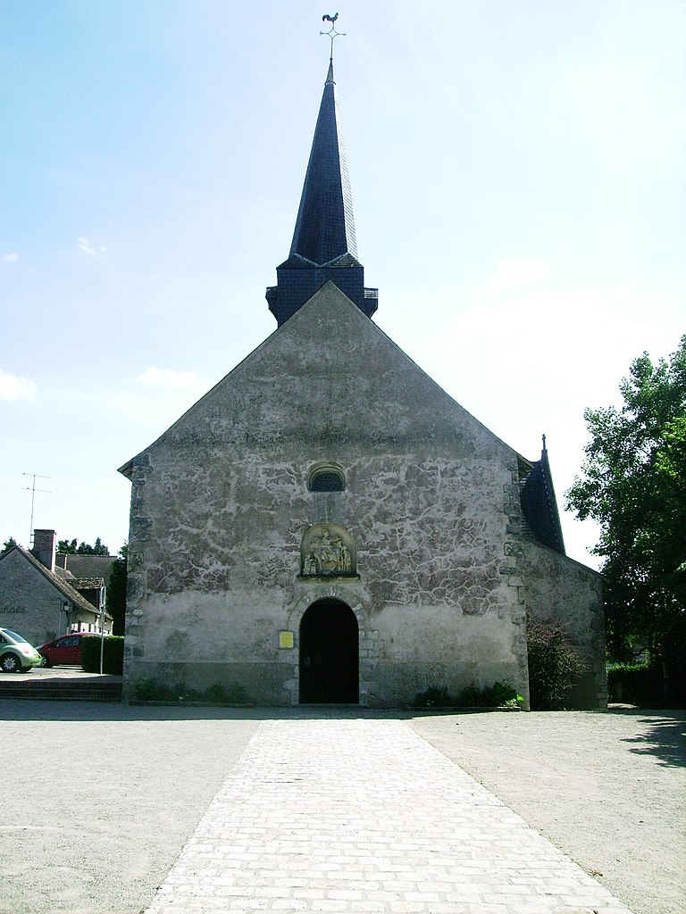
La Ferté-Saint-Cyr (La Ferté-Saint-Cyr)
- commune in Loir-et-Cher, France
- Country:

- Postal Code: 41220
- Coordinates: 47° 39' 22" N, 1° 40' 27" E


- GPS tracks (wikiloc): [Link]
- Area: 57.93 sq km
- Population: 1059
- Wikipedia en: wiki(en)
- Wikipedia: wiki(fr)
- Wikidata storage: Wikidata: Q1157694
- Wikipedia Commons Category: [Link]
- Freebase ID: [/m/03nw01b]
- GeoNames ID: Alt: [3009483]
- SIREN number: [214100851]
- BnF ID: [15259361f]
- INSEE municipality code: 41085
Shares border with regions:


Dhuizon
- commune in Loir-et-Cher, France
- Country:

- Postal Code: 41220
- Coordinates: 47° 35' 18" N, 1° 39' 29" E


- GPS tracks (wikiloc): [Link]
- Area: 43.34 sq km
- Population: 1230
- Web site: [Link]


Villeny
- commune in Loir-et-Cher, France
- Country:

- Postal Code: 41220
- Coordinates: 47° 37' 22" N, 1° 45' 17" E


- GPS tracks (wikiloc): [Link]
- Area: 33.98 sq km
- Population: 493


Ligny-le-Ribault
- commune in Loiret, France
- Country:

- Postal Code: 45240
- Coordinates: 47° 41' 5" N, 1° 46' 55" E


- GPS tracks (wikiloc): [Link]
- Area: 59.21 sq km
- Population: 1262
- Web site: [Link]


Beaugency
- commune in Loiret, France
- Country:

- Postal Code: 45190
- Coordinates: 47° 46' 42" N, 1° 37' 54" E


- GPS tracks (wikiloc): [Link]
- Area: 16.45 sq km
- Population: 7475
- Web site: [Link]


Saint-Laurent-Nouan
- commune in Loir-et-Cher, France
- Country:

- Postal Code: 41220
- Coordinates: 47° 43' 0" N, 1° 36' 0" E


- GPS tracks (wikiloc): [Link]
- Area: 60.98 sq km
- Population: 4324
- Web site: [Link]


Crouy-sur-Cosson
- commune in Loir-et-Cher, France
- Country:

- Postal Code: 41220
- Coordinates: 47° 39' 2" N, 1° 36' 24" E


- GPS tracks (wikiloc): [Link]
- Area: 28.37 sq km
- Population: 513
