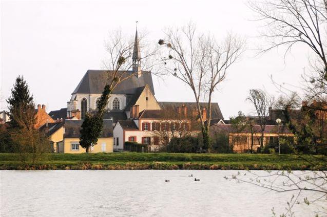
arrondissement of Romorantin-Lanthenay (arrondissement de Romorantin-Lanthenay)
- arrondissement of France
- Country:

- Capital: Romorantin-Lanthenay
- Coordinates: 47° 25' 0" N, 1° 50' 0" E


- GPS tracks (wikiloc): [Link]
- Area: 2059 sq km
- Population: 111726
- Wikipedia en: wiki(en)
- Wikipedia: wiki(fr)
- Wikidata storage: Wikidata: Q543784
- Freebase ID: [/m/09559v]
- GeoNames ID: Alt: [2982966]
- INSEE arrondissement code: [413]
- GNS Unique Feature ID: -1462491
Includes regions:


canton of Saint-Aignan
- canton of France
- Country:

- Capital: Saint-Aignan-sur-Cher
- Coordinates: 47° 17' 53" N, 1° 23' 58" E


- GPS tracks (wikiloc): [Link]
- Population: 19242

canton of Neung-sur-Beuvron
- canton of France (until March 2015)
- Country:

- Capital: Neung-sur-Beuvron
- Coordinates: 47° 35' 21" N, 1° 43' 49" E


- GPS tracks (wikiloc): [Link]

canton of Lamotte-Beuvron
- canton of France (until March 2015)
- Country:

- Capital: Lamotte-Beuvron
- Coordinates: 47° 36' 41" N, 2° 1' 51" E


- GPS tracks (wikiloc): [Link]

canton of Mennetou-sur-Cher
- canton of France
- Country:

- Capital: Mennetou-sur-Cher
- Coordinates: 47° 16' 20" N, 1° 49' 35" E


- GPS tracks (wikiloc): [Link]

canton of Romorantin-Lanthenay-Nord
- canton of France
- Country:

- Capital: Romorantin-Lanthenay
- Coordinates: 47° 26' 24" N, 1° 41' 54" E


- GPS tracks (wikiloc): [Link]


canton of Selles-sur-Cher
- canton of France
- Country:

- Capital: Selles-sur-Cher
- Coordinates: 47° 20' 46" N, 1° 34' 49" E


- GPS tracks (wikiloc): [Link]
- Population: 21801

canton of Romorantin-Lanthenay-Sud
- canton of France (until March 2015)
- Country:

- Capital: Romorantin-Lanthenay
- Coordinates: 47° 21' 41" N, 1° 45' 40" E


- GPS tracks (wikiloc): [Link]

