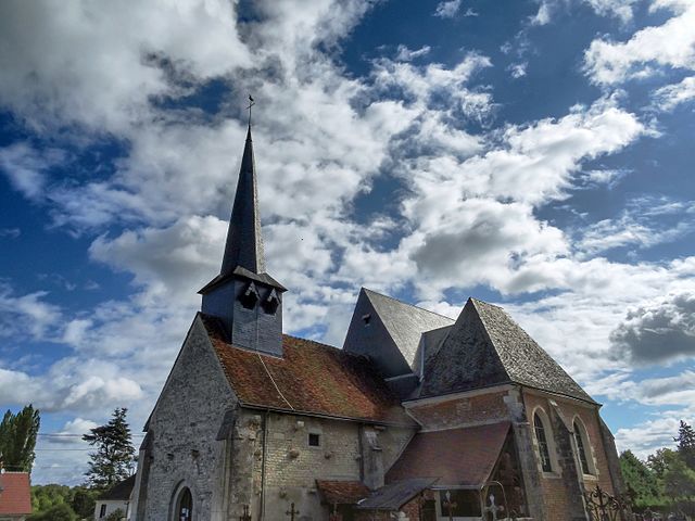
Dhuizon (Dhuizon)

- commune in Loir-et-Cher, France
- Country:

- Postal Code: 41220
- Coordinates: 47° 35' 18" N, 1° 39' 29" E


- GPS tracks (wikiloc): [Link]
- Area: 43.34 sq km
- Population: 1230
- Web site: http://www.dhuizon.fr
- Wikipedia en: wiki(en)
- Wikipedia: wiki(fr)
- Wikidata storage: Wikidata: Q1135535
- Wikipedia Commons Category: [Link]
- Freebase ID: [/m/03nv_x5]
- GeoNames ID: Alt: [3021458]
- SIREN number: [214100745]
- BnF ID: [15259350s]
- INSEE municipality code: 41074
Shares border with regions:


La Ferté-Saint-Cyr
- commune in Loir-et-Cher, France
- Country:
- Postal Code: 41220
- Coordinates: 47° 39' 22" N, 1° 40' 27" E
- GPS tracks (wikiloc): [Link]
- Area: 57.93 sq km
- Population: 1059


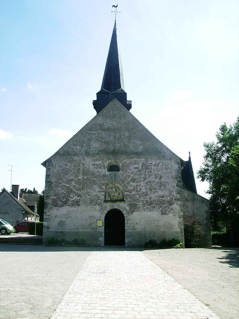
Villeny
- commune in Loir-et-Cher, France
- Country:
- Postal Code: 41220
- Coordinates: 47° 37' 22" N, 1° 45' 17" E
- GPS tracks (wikiloc): [Link]
- Area: 33.98 sq km
- Population: 493

Neuvy
- commune in Loir-et-Cher, France
- Country:
- Postal Code: 41250
- Coordinates: 47° 33' 47" N, 1° 36' 10" E
- GPS tracks (wikiloc): [Link]
- Area: 31.28 sq km
- Population: 314
Montrieux-en-Sologne
- commune in Loir-et-Cher, France
- Country:
- Postal Code: 41210
- Coordinates: 47° 33' 12" N, 1° 43' 25" E
- GPS tracks (wikiloc): [Link]
- Area: 34.11 sq km
- Population: 674


Bauzy
- commune in Loir-et-Cher, France
- Country:
- Postal Code: 41250
- Coordinates: 47° 32' 7" N, 1° 36' 29" E
- GPS tracks (wikiloc): [Link]
- Area: 24.7 sq km
- Population: 285
Thoury
- commune in Loir-et-Cher, France
- Country:
- Postal Code: 41220
- Coordinates: 47° 37' 47" N, 1° 35' 47" E
- GPS tracks (wikiloc): [Link]
- Area: 15.76 sq km
- Population: 423

Crouy-sur-Cosson
- commune in Loir-et-Cher, France
- Country:
- Postal Code: 41220
- Coordinates: 47° 39' 2" N, 1° 36' 24" E
- GPS tracks (wikiloc): [Link]
- Area: 28.37 sq km
- Population: 513