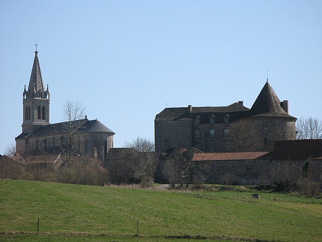
La Fouillade (La Fouillade)

- commune in Aveyron, France
- Country:

- Postal Code: 12270
- Coordinates: 44° 13' 52" N, 2° 2' 31" E


- GPS tracks (wikiloc): [Link]
- Area: 32.54 sq km
- Population: 1069
- Web site: http://www.lafouillade.fr/index.php
- Wikipedia en: wiki(en)
- Wikipedia: wiki(fr)
- Wikidata storage: Wikidata: Q1082376
- Wikipedia Commons Category: [Link]
- Freebase ID: [/m/03m93zb]
- GeoNames ID: Alt: [6455533]
- SIREN number: [211201058]
- BnF ID: [15247081j]
- VIAF ID: Alt: [244767277]
- INSEE municipality code: 12105
Shares border with regions:


Monteils
- commune in Aveyron, France
- Country:
- Postal Code: 12200
- Coordinates: 44° 15' 56" N, 1° 59' 52" E
- GPS tracks (wikiloc): [Link]
- AboveSeaLevel: 234 м m
- Area: 17.19 sq km
- Population: 532
- Web site: [Link]


Bor-et-Bar
- commune in Aveyron, France
- Country:
- Postal Code: 12270
- Coordinates: 44° 11' 18" N, 2° 4' 32" E
- GPS tracks (wikiloc): [Link]
- Area: 12.92 sq km
- Population: 194
- Web site: [Link]

Sanvensa
- commune in Aveyron, France
- Country:
- Postal Code: 12200
- Coordinates: 44° 17' 32" N, 2° 2' 56" E
- GPS tracks (wikiloc): [Link]
- Area: 25.48 sq km
- Population: 663

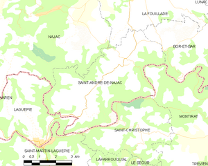
Saint-André-de-Najac
- commune in Aveyron, France
- Country:
- Postal Code: 12270
- Coordinates: 44° 11' 24" N, 2° 2' 25" E
- GPS tracks (wikiloc): [Link]
- Area: 25.1 sq km
- Population: 413


Najac
- commune in Aveyron, France
- Country:
- Postal Code: 12270
- Coordinates: 44° 13' 12" N, 1° 58' 45" E
- GPS tracks (wikiloc): [Link]
- Area: 53.88 sq km
- Population: 702

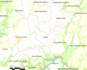
Lunac
- commune in Aveyron, France
- Country:
- Postal Code: 12270
- Coordinates: 44° 14' 8" N, 2° 6' 48" E
- GPS tracks (wikiloc): [Link]
- Area: 18.78 sq km
- Population: 430
- Web site: [Link]