La Rouquette (La Rouquette)

- commune in Aveyron, France
- Country:

- Postal Code: 12200
- Coordinates: 44° 18' 8" N, 1° 58' 28" E


- GPS tracks (wikiloc): [Link]
- Area: 29.81 sq km
- Population: 775
- Web site: http://www.larouquette.org
- Wikipedia en: wiki(en)
- Wikipedia: wiki(fr)
- Wikidata storage: Wikidata: Q767381
- Wikipedia Commons Category: [Link]
- Freebase ID: [/m/03m955d]
- GeoNames ID: Alt: [6455538]
- SIREN number: [211202056]
- BnF ID: [15247181t]
- INSEE municipality code: 12205
Shares border with regions:


Monteils
- commune in Aveyron, France
- Country:
- Postal Code: 12200
- Coordinates: 44° 15' 56" N, 1° 59' 52" E
- GPS tracks (wikiloc): [Link]
- AboveSeaLevel: 234 м m
- Area: 17.19 sq km
- Population: 532
- Web site: [Link]

Sanvensa
- commune in Aveyron, France
- Country:
- Postal Code: 12200
- Coordinates: 44° 17' 32" N, 2° 2' 56" E
- GPS tracks (wikiloc): [Link]
- Area: 25.48 sq km
- Population: 663


Vailhourles
- commune in Aveyron, France
- Country:
- Postal Code: 12200
- Coordinates: 44° 18' 19" N, 1° 54' 23" E
- GPS tracks (wikiloc): [Link]
- AboveSeaLevel: 356 м m
- Area: 32.41 sq km
- Population: 663

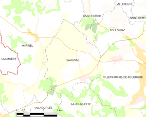
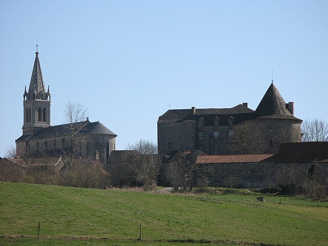
Savignac
- commune in Aveyron, France
- Country:
- Postal Code: 12200
- Coordinates: 44° 21' 32" N, 1° 57' 56" E
- GPS tracks (wikiloc): [Link]
- Area: 15.28 sq km
- Population: 711
- Web site: [Link]
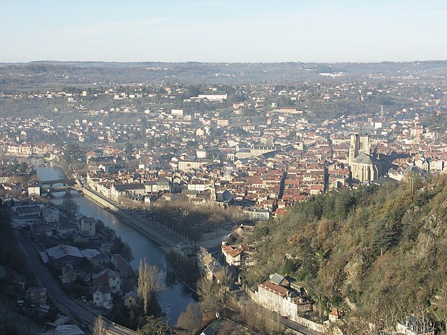
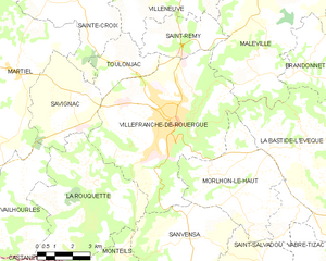
Villefranche-de-Rouergue
- commune in Aveyron, France
- Country:
- Postal Code: 12200
- Coordinates: 44° 21' 9" N, 2° 2' 3" E
- GPS tracks (wikiloc): [Link]
- AboveSeaLevel: 290 м m
- Area: 45.85 sq km
- Population: 11892
- Web site: [Link]


Castanet
- commune in Tarn-et-Garonne, France
- Country:
- Postal Code: 82160
- Coordinates: 44° 16' 0" N, 1° 57' 1" E
- GPS tracks (wikiloc): [Link]
- Area: 22.07 sq km
- Population: 282