La Ville-aux-Bois (La Ville-aux-Bois)

- commune in Aube, France
- Country:

- Postal Code: 10500
- Coordinates: 48° 24' 25" N, 4° 41' 25" E


- GPS tracks (wikiloc): [Link]
- Area: 5.56 sq km
- Population: 23
- Wikipedia en: wiki(en)
- Wikipedia: wiki(fr)
- Wikidata storage: Wikidata: Q1436584
- Wikipedia Commons Category: [Link]
- Freebase ID: [/m/03m8wjd]
- GeoNames ID: Alt: [6614928]
- SIREN number: [211003975]
- BnF ID: [15246503w]
- INSEE municipality code: 10411
Shares border with regions:


Ceffonds
- commune in Haute-Marne, France
- Country:
- Postal Code: 52220
- Coordinates: 48° 28' 12" N, 4° 45' 48" E
- GPS tracks (wikiloc): [Link]
- Area: 36.52 sq km
- Population: 632

Soulaines-Dhuys
- commune in Aube, France
- Country:
- Postal Code: 10200
- Coordinates: 48° 22' 27" N, 4° 44' 0" E
- GPS tracks (wikiloc): [Link]
- Area: 20.06 sq km
- Population: 417


Épothémont
- commune in Aube, France
- Country:
- Postal Code: 10500
- Coordinates: 48° 25' 4" N, 4° 39' 27" E
- GPS tracks (wikiloc): [Link]
- Area: 10.43 sq km
- Population: 183
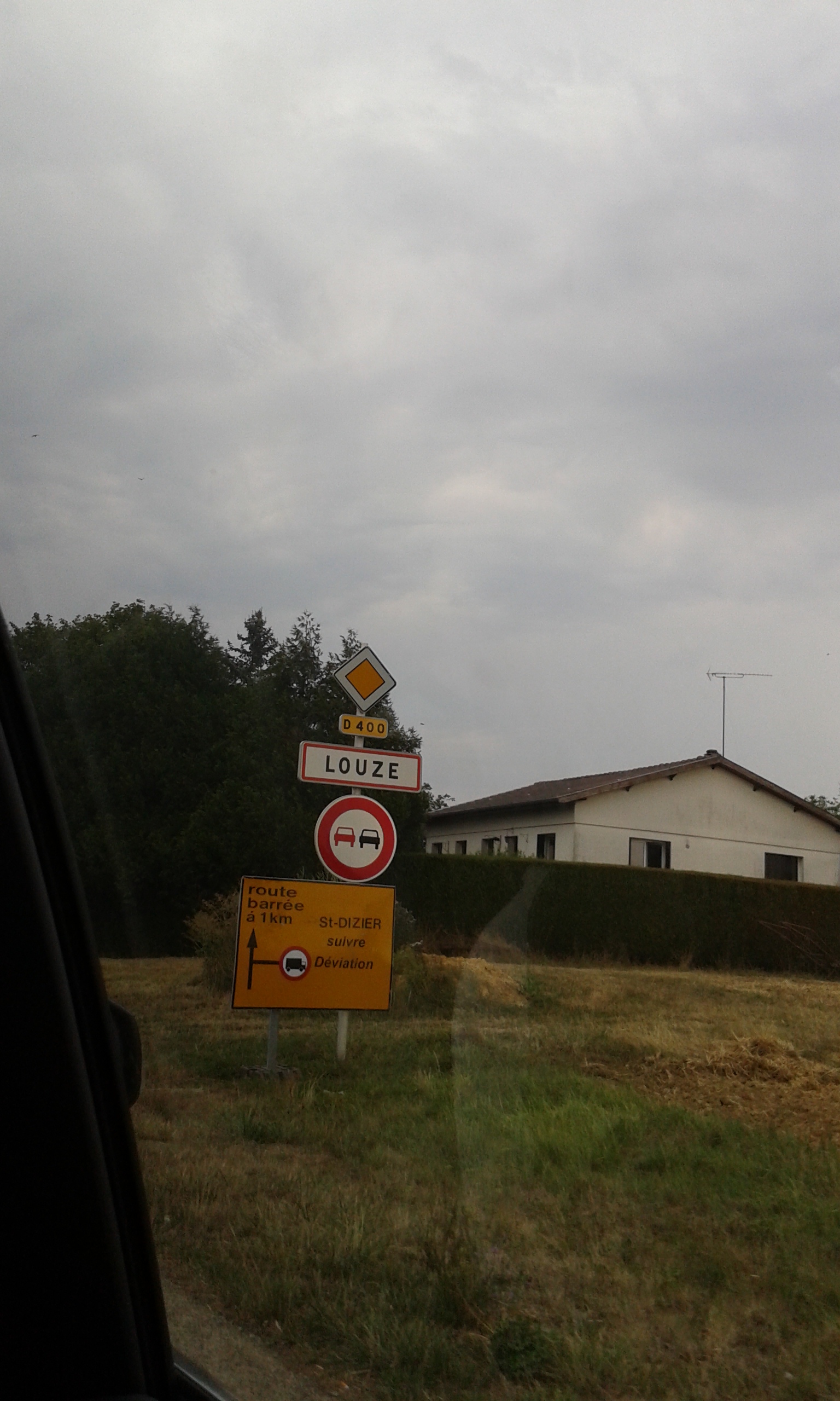

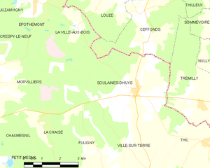
Louze
- former commune in Haute-Marne, France
- Country:
- Postal Code: 52220
- Coordinates: 48° 26' 1" N, 4° 43' 5" E
- GPS tracks (wikiloc): [Link]
- Area: 20.65 sq km
- Population: 312