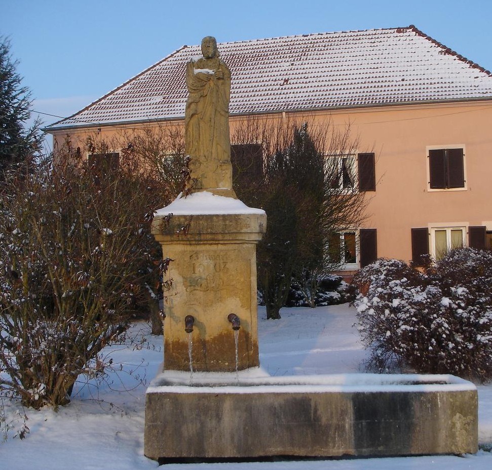
Laning (Laning)

- commune in Moselle, France
- Country:

- Postal Code: 57660
- Coordinates: 49° 1' 52" N, 6° 45' 49" E


- GPS tracks (wikiloc): [Link]
- Area: 6.71 sq km
- Population: 585
- Wikipedia en: wiki(en)
- Wikipedia: wiki(fr)
- Wikidata storage: Wikidata: Q22940
- Wikipedia Commons Category: [Link]
- Freebase ID: [/m/03nq4yk]
- Freebase ID: [/m/03nq4yk]
- GeoNames ID: Alt: [6437648]
- GeoNames ID: Alt: [6437648]
- SIREN number: [215703844]
- SIREN number: [215703844]
- BnF ID: [15265890n]
- BnF ID: [15265890n]
- INSEE municipality code: 57384
- INSEE municipality code: 57384
Shares border with regions:


Biding
- commune in Moselle, France
- Country:
- Postal Code: 57660
- Coordinates: 49° 3' 32" N, 6° 47' 12" E
- GPS tracks (wikiloc): [Link]
- Area: 6.72 sq km
- Population: 328
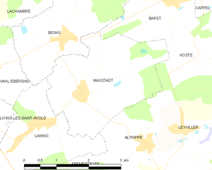
Maxstadt
- commune in Moselle, France
- Country:
- Postal Code: 57660
- Coordinates: 49° 2' 40" N, 6° 47' 37" E
- GPS tracks (wikiloc): [Link]
- Area: 7.91 sq km
- Population: 325
- Web site: [Link]


Grostenquin
- commune in Moselle, France
- Country:
- Postal Code: 57660
- Coordinates: 48° 58' 48" N, 6° 44' 20" E
- GPS tracks (wikiloc): [Link]
- Area: 21.77 sq km
- Population: 604

Lixing-lès-Saint-Avold
- commune in Moselle, France
- Country:
- Postal Code: 57660
- Coordinates: 49° 2' 13" N, 6° 45' 9" E
- GPS tracks (wikiloc): [Link]
- Area: 6.32 sq km
- Population: 700

Vahl-Ebersing
- commune in Moselle, France
- Country:
- Postal Code: 57660
- Coordinates: 49° 2' 59" N, 6° 45' 12" E
- GPS tracks (wikiloc): [Link]
- Area: 6.29 sq km
- Population: 517

Altrippe
- commune in Moselle, France
- Country:
- Postal Code: 57660
- Coordinates: 49° 1' 44" N, 6° 49' 11" E
- GPS tracks (wikiloc): [Link]
- Area: 4.88 sq km
- Population: 387


Frémestroff
- commune in Moselle, France
- Country:
- Postal Code: 57660
- Coordinates: 49° 1' 3" N, 6° 46' 50" E
- GPS tracks (wikiloc): [Link]
- Area: 5.51 sq km
- Population: 298