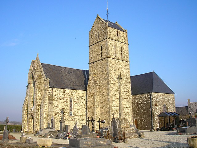
Le Mesnil-Garnier (Le Mesnil-Garnier)

- commune in Manche, France
- Country:

- Postal Code: 50450
- Coordinates: 48° 51' 55" N, 1° 18' 35" E


- GPS tracks (wikiloc): [Link]
- Area: 10.41 sq km
- Population: 232
- Wikipedia en: wiki(en)
- Wikipedia: wiki(fr)
- Wikidata storage: Wikidata: Q1063324
- Wikipedia Commons Category: [Link]
- Freebase ID: [/m/03nx9ft]
- Freebase ID: [/m/03nx9ft]
- GeoNames ID: Alt: [6456137]
- GeoNames ID: Alt: [6456137]
- SIREN number: [215003112]
- SIREN number: [215003112]
- BnF ID: [152622861]
- BnF ID: [152622861]
- INSEE municipality code: 50311
- INSEE municipality code: 50311
Shares border with regions:


La Bloutière
- commune in Manche, France
- Country:
- Postal Code: 50800
- Coordinates: 48° 52' 30" N, 1° 14' 21" E
- GPS tracks (wikiloc): [Link]
- Area: 9.31 sq km
- Population: 421


Gavray
- commune in Manche, France
- Country:
- Postal Code: 50450
- Coordinates: 48° 54' 40" N, 1° 21' 2" E
- GPS tracks (wikiloc): [Link]
- Area: 20.6 sq km
- Population: 1462
- Web site: [Link]


Le Mesnil-Villeman
- commune in Manche, France
- Country:
- Postal Code: 50450
- Coordinates: 48° 51' 52" N, 1° 19' 39" E
- GPS tracks (wikiloc): [Link]
- Area: 10.8 sq km
- Population: 240
- Web site: [Link]

Montaigu-les-Bois
- commune in Manche, France
- Country:
- Postal Code: 50450
- Coordinates: 48° 53' 34" N, 1° 16' 46" E
- GPS tracks (wikiloc): [Link]
- Area: 6.67 sq km
- Population: 233

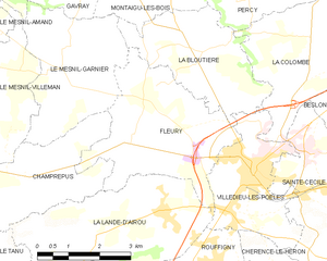
Fleury
- commune in Manche, France
- Country:
- Postal Code: 50800
- Coordinates: 48° 50' 52" N, 1° 16' 33" E
- GPS tracks (wikiloc): [Link]
- Area: 12.6 sq km
- Population: 1052


Champrepus
- commune in Manche, France
- Country:
- Postal Code: 50800
- Coordinates: 48° 50' 2" N, 1° 19' 16" E
- GPS tracks (wikiloc): [Link]
- Area: 9.12 sq km
- Population: 335