Le Mesnil-Saint-Denis (Le Mesnil-Saint-Denis)

- commune in Yvelines, France
- Country:

- Postal Code: 78320
- Coordinates: 48° 44' 37" N, 1° 57' 47" E


- GPS tracks (wikiloc): [Link]
- Area: 8.95 sq km
- Population: 6714
- Web site: http://www.mairie-de-mesnil-st-denis.com
- Wikipedia en: wiki(en)
- Wikipedia: wiki(fr)
- Wikidata storage: Wikidata: Q83576
- Wikipedia Commons Category: [Link]
- Freebase ID: [/m/03qg0mb]
- Freebase ID: [/m/03qg0mb]
- GeoNames ID: Alt: [3003359]
- GeoNames ID: Alt: [3003359]
- SIREN number: [217803972]
- SIREN number: [217803972]
- BnF ID: [15276028g]
- BnF ID: [15276028g]
- VIAF ID: Alt: [131688312]
- VIAF ID: Alt: [131688312]
- Library of Congress authority ID: Alt: [n85315355]
- Library of Congress authority ID: Alt: [n85315355]
- Twitter username: Alt: [MesnilStDenis]
- Twitter username: Alt: [MesnilStDenis]
- INSEE municipality code: 78397
- INSEE municipality code: 78397
Shares border with regions:


Saint-Forget
- commune in Yvelines, France
- Country:
- Postal Code: 78720
- Coordinates: 48° 42' 27" N, 1° 59' 46" E
- GPS tracks (wikiloc): [Link]
- Area: 6 sq km
- Population: 512
- Web site: [Link]

Élancourt
- commune in Yvelines, France
- Country:
- Postal Code: 78990
- Coordinates: 48° 46' 6" N, 1° 56' 58" E
- GPS tracks (wikiloc): [Link]
- Area: 8.51 sq km
- Population: 25504
- Web site: [Link]


Saint-Lambert
- commune in Yvelines, France
- Country:
- Postal Code: 78470
- Coordinates: 48° 43' 55" N, 2° 1' 15" E
- GPS tracks (wikiloc): [Link]
- Area: 6.61 sq km
- Population: 451
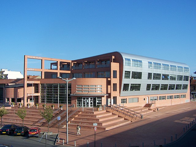

Trappes
- commune in Yvelines, France
- Country:
- Postal Code: 78190
- Coordinates: 48° 46' 36" N, 2° 0' 6" E
- GPS tracks (wikiloc): [Link]
- AboveSeaLevel: 168 м m
- Area: 13.47 sq km
- Population: 32346
- Web site: [Link]

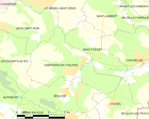
Dampierre-en-Yvelines
- commune in Yvelines, France
- Country:
- Postal Code: 78720
- Coordinates: 48° 42' 14" N, 1° 59' 3" E
- GPS tracks (wikiloc): [Link]
- AboveSeaLevel: 100 м m
- Area: 11.17 sq km
- Population: 1040
- Web site: [Link]


Coignières
- commune in Yvelines, France
- Country:
- Postal Code: 78310
- Coordinates: 48° 44' 50" N, 1° 55' 13" E
- GPS tracks (wikiloc): [Link]
- Area: 8.27 sq km
- Population: 4350
- Web site: [Link]

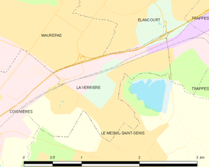
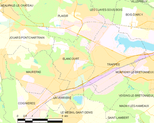
La Verrière
- commune in Yvelines, France
- Country:
- Postal Code: 78320
- Coordinates: 48° 45' 31" N, 1° 57' 44" E
- GPS tracks (wikiloc): [Link]
- Area: 1.77 sq km
- Population: 6011
- Web site: [Link]


Lévis-Saint-Nom
- commune in Yvelines, France
- Country:
- Postal Code: 78320
- Coordinates: 48° 43' 17" N, 1° 56' 55" E
- GPS tracks (wikiloc): [Link]
- Area: 8.25 sq km
- Population: 1630
- Web site: [Link]