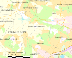
Coignières (Coignières)

- commune in Yvelines, France
- Country:

- Postal Code: 78310
- Coordinates: 48° 44' 50" N, 1° 55' 13" E


- GPS tracks (wikiloc): [Link]
- Area: 8.27 sq km
- Population: 4350
- Web site: http://www.coignieres.fr
- Wikipedia en: wiki(en)
- Wikipedia: wiki(fr)
- Wikidata storage: Wikidata: Q492333
- Wikipedia Commons Category: [Link]
- Freebase ID: [/m/03qf_gk]
- Freebase ID: [/m/03qf_gk]
- GeoNames ID: Alt: [3024406]
- GeoNames ID: Alt: [3024406]
- SIREN number: [217801687]
- SIREN number: [217801687]
- BnF ID: [15275934n]
- BnF ID: [15275934n]
- VIAF ID: Alt: [247861969]
- VIAF ID: Alt: [247861969]
- WOEID: [12641906]
- WOEID: [12641906]
- YouTube channel ID: [UCSC97vsqe-gGrMe1J8Sfo6w]
- YouTube channel ID: [UCSC97vsqe-gGrMe1J8Sfo6w]
- INSEE municipality code: 78168
- INSEE municipality code: 78168
Shares border with regions:

Jouars-Pontchartrain
- commune in Yvelines, France
- Country:
- Postal Code: 78760
- Coordinates: 48° 48' 11" N, 1° 54' 5" E
- GPS tracks (wikiloc): [Link]
- Area: 9.65 sq km
- Population: 5476
- Web site: [Link]

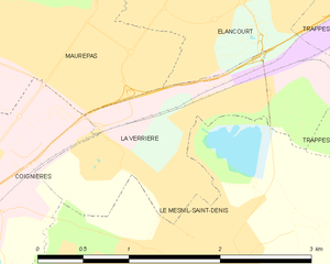
La Verrière
- commune in Yvelines, France
- Country:
- Postal Code: 78320
- Coordinates: 48° 45' 31" N, 1° 57' 44" E
- GPS tracks (wikiloc): [Link]
- Area: 1.77 sq km
- Population: 6011
- Web site: [Link]


Le Mesnil-Saint-Denis
- commune in Yvelines, France
- Country:
- Postal Code: 78320
- Coordinates: 48° 44' 37" N, 1° 57' 47" E
- GPS tracks (wikiloc): [Link]
- Area: 8.95 sq km
- Population: 6714
- Web site: [Link]


Maurepas
- commune in Yvelines, France
- Country:
- Postal Code: 78310
- Coordinates: 48° 45' 46" N, 1° 56' 44" E
- GPS tracks (wikiloc): [Link]
- Area: 8.32 sq km
- Population: 18840
- Web site: [Link]


Les Essarts-le-Roi
- commune in Yvelines, France
- Country:
- Postal Code: 78690
- Coordinates: 48° 43' 0" N, 1° 53' 40" E
- GPS tracks (wikiloc): [Link]
- Area: 19.32 sq km
- Population: 6787
- Web site: [Link]

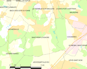
Saint-Rémy-l'Honoré
- commune in Yvelines, France
- Country:
- Postal Code: 78690
- Coordinates: 48° 45' 23" N, 1° 52' 51" E
- GPS tracks (wikiloc): [Link]
- Area: 10.15 sq km
- Population: 1497
- Web site: [Link]


Lévis-Saint-Nom
- commune in Yvelines, France
- Country:
- Postal Code: 78320
- Coordinates: 48° 43' 17" N, 1° 56' 55" E
- GPS tracks (wikiloc): [Link]
- Area: 8.25 sq km
- Population: 1630
- Web site: [Link]