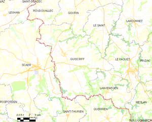
Le Saint (Le Saint)

- commune in Morbihan, France
- Country:

- Postal Code: 56110
- Coordinates: 48° 5' 22" N, 3° 33' 44" E


- GPS tracks (wikiloc): [Link]
- Area: 31.03 sq km
- Population: 599
- Wikipedia en: wiki(en)
- Wikipedia: wiki(fr)
- Wikidata storage: Wikidata: Q127243
- Wikipedia Commons Category: [Link]
- Freebase ID: [/m/03cbpvn]
- GeoNames ID: Alt: [6456219]
- SIREN number: [215602012]
- BnF ID: [152654509]
- PACTOLS thesaurus ID: [pcrtroK4DMk2ue]
- INSEE municipality code: 56201
Shares border with regions:


Le Faouët
- commune in Morbihan, France
- Country:
- Postal Code: 56320
- Coordinates: 48° 1' 59" N, 3° 29' 29" E
- GPS tracks (wikiloc): [Link]
- Area: 34.03 sq km
- Population: 2815
- Web site: [Link]

Guiscriff
- commune in Morbihan, France
- Country:
- Postal Code: 56560
- Coordinates: 48° 3' 0" N, 3° 38' 43" E
- GPS tracks (wikiloc): [Link]
- Area: 85.46 sq km
- Population: 2155

Gourin
- commune in Morbihan, France
- Country:
- Postal Code: 56110
- Coordinates: 48° 8' 22" N, 3° 36' 27" E
- GPS tracks (wikiloc): [Link]
- Area: 74.72 sq km
- Population: 3972
- Web site: [Link]


Langonnet
- commune in Morbihan, France
- Country:
- Postal Code: 56630
- Coordinates: 48° 6' 20" N, 3° 29' 36" E
- GPS tracks (wikiloc): [Link]
- Area: 85.4 sq km
- Population: 1858
- Web site: [Link]