Levroux (Levroux)

- commune in Indre, France
- Country:

- Postal Code: 36110
- Coordinates: 46° 58' 37" N, 1° 36' 46" E


- GPS tracks (wikiloc): [Link]
- Area: 56.43 sq km
- Population: 2775
- Web site: http://www.ville-levroux.fr
- Wikidata storage: Wikidata: Q628265
- Wikipedia Commons Category: [Link]
- Freebase ID: [/m/03nvb6c]
- GeoNames ID: Alt: [2998718]
- BnF ID: [15257397z]
- VIAF ID: Alt: [124418915]
- Library of Congress authority ID: Alt: [n81033750]
- Digital Atlas of the Roman Empire ID: [18815]
- INSEE municipality code: 36093
Shares border with regions:

Vineuil
- commune in Indre, France
- Country:
- Postal Code: 36110
- Coordinates: 46° 54' 3" N, 1° 38' 7" E
- GPS tracks (wikiloc): [Link]
- Area: 44.41 sq km
- Population: 1225
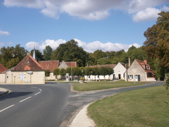
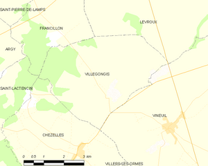
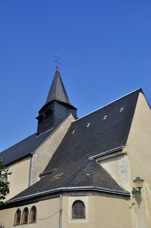
Villegongis
- commune in Indre, France
- Country:
- Postal Code: 36110
- Coordinates: 46° 54' 48" N, 1° 35' 44" E
- GPS tracks (wikiloc): [Link]
- Area: 18.15 sq km
- Population: 121
- Web site: [Link]


Saint-Martin-de-Lamps
- former commune in Indre, France
- Country:
- Postal Code: 36110
- Coordinates: 46° 59' 26" N, 1° 31' 29" E
- GPS tracks (wikiloc): [Link]
- Area: 15.61 sq km
- Population: 153


Bretagne
- commune in Indre, France
- Country:
- Postal Code: 36110
- Coordinates: 47° 0' 11" N, 1° 40' 50" E
- GPS tracks (wikiloc): [Link]
- Area: 18.36 sq km
- Population: 153
- Web site: [Link]


Brion
- commune in Indre, France
- Country:
- Postal Code: 36110
- Coordinates: 46° 57' 25" N, 1° 43' 40" E
- GPS tracks (wikiloc): [Link]
- Area: 44.2 sq km
- Population: 539

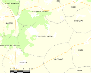
Bouges-le-Château
- commune in Indre, France
- Country:
- Postal Code: 36110
- Coordinates: 47° 2' 22" N, 1° 40' 24" E
- GPS tracks (wikiloc): [Link]
- Area: 34.77 sq km
- Population: 273
Moulins-sur-Céphons
- commune in Indre, France
- Country:
- Postal Code: 36110
- Coordinates: 47° 0' 37" N, 1° 33' 23" E
- GPS tracks (wikiloc): [Link]
- Area: 32.17 sq km
- Population: 303


Francillon
- commune in Indre, France
- Country:
- Postal Code: 36110
- Coordinates: 46° 56' 30" N, 1° 33' 43" E
- GPS tracks (wikiloc): [Link]
- Area: 10.27 sq km
- Population: 75