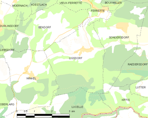
Lucelle (Lucelle)

- commune in Haut-Rhin, France
 Hiking in Lucelle
Lucelle is a picturesque village located in the Haut-Rhin department of the Alsace region in northeastern France, near the Swiss border. The area around Lucelle offers some beautiful opportunities for hiking, combining natural landscapes, historical sites, and the charm of the Alsace region.
Hiking Trails:
-
Local Trails: Lucelle and its surroundings feature various marked hiking trails that vary in difficulty, catering to both novice and experienced hikers. These trails often wind through forests, meadows, and alongside rivers, providing stunning views of the Jura mountains.
-
Sentier des Crêtes: This is a well-known route that follows the ridges of the Jura mountains, offering breathtaking panoramas. Parts of this trail can be accessed from Lucelle, allowing hikers to explore diverse terrains.
-
Circuit de la Lucelle: This is a specific trail that takes you through the scenic landscapes surrounding the village. It often includes stops at historical sites and offers a glimpse of local flora and fauna.
Points of Interest:
- Nature: The region is rich in biodiversity, and hikers can enjoy observing various local wildlife and plant species.
- Cultural Sites: Along the hiking routes, you might encounter traditional Alsatian architecture, small chapels, and remnants of ancient passes and forts that reflect the area's rich history.
- Waterfalls and Rivers: The nearby Lucelle River adds to the beauty of the hiking experience, and there are opportunities to explore small waterfalls along some trails.
Best Time to Hike:
- Spring and Fall: These seasons are particularly beautiful for hiking in the region, with mild temperatures and vibrant foliage. Spring blossoms and autumn colors create stunning backdrops.
- Summer: While summer is warmer, it's also a great time to hike, especially early in the morning or later in the evening.
Essential Tips:
- Preparation: Make sure to carry enough water, snacks, and a first aid kit. Good hiking shoes are essential for comfort and safety on varying terrains.
- Maps and Navigation: It's wise to have a detailed map of the trails or a reliable hiking app to ensure you stay on track, as marking may not always be clear.
- Local Weather: The weather in the region can change quickly, so be prepared for various conditions.
Exploring Lucelle by hiking can be a rewarding experience, allowing you to connect with nature and appreciate the beauty of the Alsace region. Enjoy your hiking adventure!
- Country:

- Postal Code: 68480
- Coordinates: 47° 25' 21" N, 7° 14' 50" E


- GPS tracks (wikiloc): [Link]
- Area: 10.27 sq km
- Population: 35
- Wikipedia en: wiki(en)
- Wikipedia: wiki(fr)
- Wikidata storage: Wikidata: Q122944
- Wikipedia Commons Category: [Link]
- Freebase ID: [/m/04lgytn]
- Freebase ID: [/m/04lgytn]
- Freebase ID: [/m/04lgytn]
- GeoNames ID: Alt: [6617438]
- GeoNames ID: Alt: [6617438]
- GeoNames ID: Alt: [6617438]
- SIREN number: [216801902]
- SIREN number: [216801902]
- SIREN number: [216801902]
- BnF ID: [15271892k]
- BnF ID: [15271892k]
- BnF ID: [15271892k]
- VIAF ID: Alt: [132976834]
- VIAF ID: Alt: [132976834]
- VIAF ID: Alt: [132976834]
- GND ID: Alt: [4363504-0]
- GND ID: Alt: [4363504-0]
- GND ID: Alt: [4363504-0]
- Library of Congress authority ID: Alt: [nr97011235]
- Library of Congress authority ID: Alt: [nr97011235]
- Library of Congress authority ID: Alt: [nr97011235]
- HDS ID: [12144]
- HDS ID: [12144]
- HDS ID: [12144]
- INSEE municipality code: 68190
- INSEE municipality code: 68190
- INSEE municipality code: 68190
Shares border with regions:

Kiffis
- commune in Haut-Rhin, France
Hiking in Kiffis
Kiffis doesn't appear to be widely recognized as a prominent hiking destination, so it's possible that you may be referring to a less-known area or a local name. If Kiffis is a specific location you're interested in, it would be helpful to know its geographic context or features....
- Country:
- Postal Code: 68480
- Coordinates: 47° 26' 25" N, 7° 21' 25" E
- GPS tracks (wikiloc): [Link]
- Area: 6.55 sq km
- Population: 248
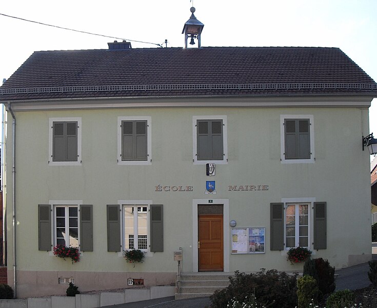
Ligsdorf
- commune in Haut-Rhin, France
Hiking in Ligsdorf
Ligsdorf is a charming area in the Grand Duchy of Luxembourg, nestled within the beautiful region of the Sûre valley. While it may not be as widely known as some other hiking destinations, it offers a selection of picturesque trails that showcase the natural beauty and tranquility of the Luxembourg countryside....
- Country:
- Postal Code: 68480
- Coordinates: 47° 28' 21" N, 7° 18' 19" E
- GPS tracks (wikiloc): [Link]
- Area: 10.03 sq km
- Population: 316
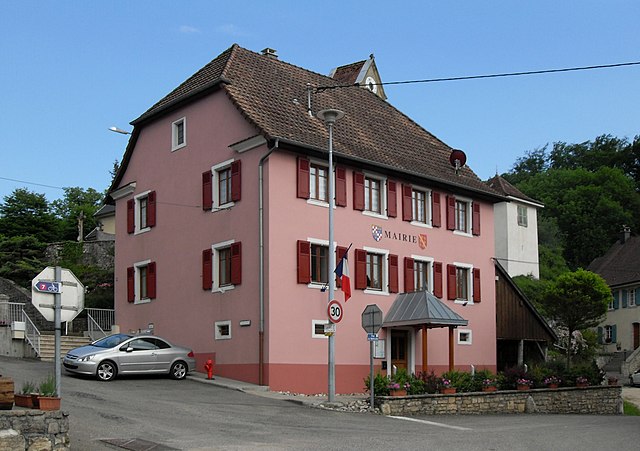
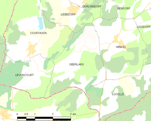
Oberlarg
- commune in Haut-Rhin, France
Hiking in Oberlarg
Oberlarg is a charming village situated in the Grand Est region of northeastern France, near the border with Germany. It's surrounded by the scenic landscapes of the Vosges Mountains, making it an ideal destination for hiking enthusiasts. Here are some key points about hiking in and around Oberlarg:...
- Country:
- Postal Code: 68480
- Coordinates: 47° 27' 27" N, 7° 14' 1" E
- GPS tracks (wikiloc): [Link]
- Area: 8.21 sq km
- Population: 138


Winkel
- commune in Haut-Rhin, France
Hiking in Winkel
Winkel is a small commune located in the Haut-Rhin department of the Alsace region in northeastern France. While it may not be as well-known as some larger cities or national parks, the area surrounding Winkel offers beautiful landscapes that are perfect for hiking enthusiasts....
- Country:
- Postal Code: 68480
- Coordinates: 47° 27' 40" N, 7° 15' 49" E
- GPS tracks (wikiloc): [Link]
- Area: 7.87 sq km
- Population: 312
- Web site: [Link]