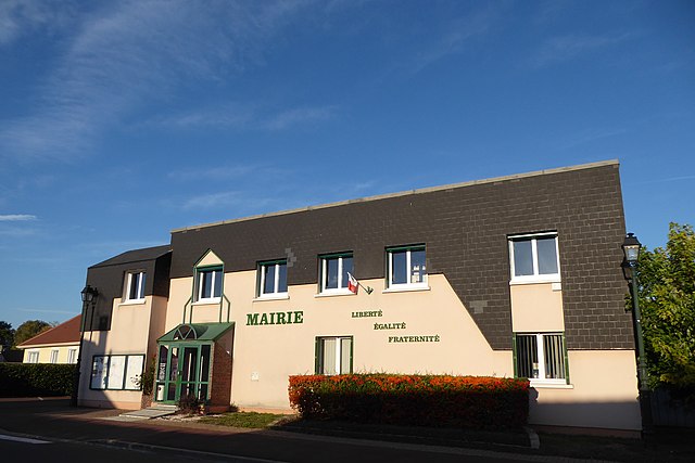
Vernouillet (Vernouillet)

- commune in Eure-et-Loir, France
- Country:

- Postal Code: 28500
- Coordinates: 48° 43' 15" N, 1° 21' 38" E


- GPS tracks (wikiloc): [Link]
- Area: 12.11 sq km
- Population: 12572
- Web site: http://www.vernouillet28.fr/
- Wikipedia en: wiki(en)
- Wikipedia: wiki(fr)
- Wikidata storage: Wikidata: Q639102
- Wikipedia Commons Category: [Link]
- Freebase ID: [/m/0ddh73]
- GeoNames ID: Alt: [6430921]
- SIREN number: [212804041]
- BnF ID: [15254334b]
- VIAF ID: Alt: [236066910]
- MusicBrainz area ID: [9c0c9898-a90e-49cf-87d5-52fceef63929]
- INSEE municipality code: 28404
Shares border with regions:


Allainville
- commune in Eure-et-Loir, France
- Country:
- Postal Code: 28500
- Coordinates: 48° 43' 22" N, 1° 18' 3" E
- GPS tracks (wikiloc): [Link]
- Area: 5.28 sq km
- Population: 135


Vert-en-Drouais
- commune in Eure-et-Loir, France
- Country:
- Postal Code: 28500
- Coordinates: 48° 45' 38" N, 1° 17' 41" E
- GPS tracks (wikiloc): [Link]
- Area: 9.7 sq km
- Population: 1114
- Web site: [Link]


Marville-Moutiers-Brûlé
- commune in Eure-et-Loir, France
- Country:
- Postal Code: 28500
- Coordinates: 48° 40' 28" N, 1° 23' 19" E
- GPS tracks (wikiloc): [Link]
- AboveSeaLevel: 136 м m
- Area: 20.24 sq km
- Population: 953
- Web site: [Link]

Luray
- commune in Eure-et-Loir, France
- Country:
- Postal Code: 28500
- Coordinates: 48° 43' 16" N, 1° 23' 49" E
- GPS tracks (wikiloc): [Link]
- Area: 4.46 sq km
- Population: 1595
- Web site: [Link]

Garnay
- commune in Eure-et-Loir, France
- Country:
- Postal Code: 28500
- Coordinates: 48° 42' 18" N, 1° 20' 15" E
- GPS tracks (wikiloc): [Link]
- Area: 14.13 sq km
- Population: 873
- Web site: [Link]
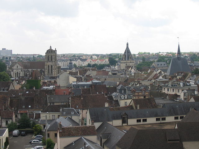

Dreux
- commune in Eure-et-Loir, France
- Country:
- Postal Code: 28100
- Coordinates: 48° 44' 11" N, 1° 21' 56" E
- GPS tracks (wikiloc): [Link]
- Area: 24.27 sq km
- Population: 30836
- Web site: [Link]