Ménestreau-en-Villette (Ménestreau-en-Villette)

- commune in Loiret, France
- Country:

- Postal Code: 45240
- Coordinates: 47° 41' 57" N, 2° 1' 20" E


- GPS tracks (wikiloc): [Link]
- Area: 53.62 sq km
- Population: 1471
- Web site: http://www.menestreau-en-villette.fr
- Wikipedia en: wiki(en)
- Wikipedia: wiki(fr)
- Wikidata storage: Wikidata: Q1423883
- Wikipedia Commons Category: [Link]
- Freebase ID: [/m/03nwhwn]
- GeoNames ID: Alt: [6434648]
- SIREN number: [214502007]
- BnF ID: [152605929]
- PACTOLS thesaurus ID: [pcrtZ825Ym4kLQ]
- INSEE municipality code: 45200
Shares border with regions:


Vouzon
- commune in Loir-et-Cher, France
- Country:
- Postal Code: 41600
- Coordinates: 47° 38' 45" N, 2° 3' 31" E
- GPS tracks (wikiloc): [Link]
- Area: 78.25 sq km
- Population: 1503
- Web site: [Link]

Sennely
- commune in Loiret, France
- Country:
- Postal Code: 45240
- Coordinates: 47° 40' 42" N, 2° 8' 57" E
- GPS tracks (wikiloc): [Link]
- Area: 49.32 sq km
- Population: 703
- Web site: [Link]

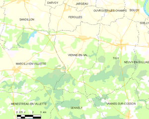
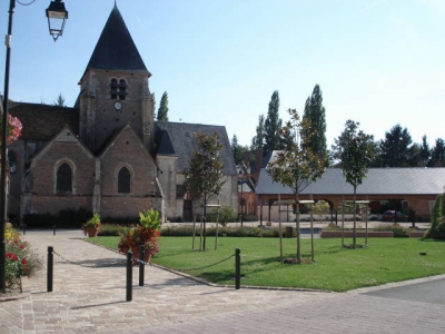
Vienne-en-Val
- commune in Loiret, France
- Country:
- Postal Code: 45510
- Coordinates: 47° 48' 3" N, 2° 8' 10" E
- GPS tracks (wikiloc): [Link]
- Area: 35.94 sq km
- Population: 1944
- Web site: [Link]


Marcilly-en-Villette
- commune in Loiret, France
- Country:
- Postal Code: 45240
- Coordinates: 47° 45' 51" N, 2° 1' 19" E
- GPS tracks (wikiloc): [Link]
- Area: 62.66 sq km
- Population: 2056
- Web site: [Link]


La Ferté-Saint-Aubin
- commune in Loiret, France
- Country:
- Postal Code: 45240
- Coordinates: 47° 43' 2" N, 1° 56' 29" E
- GPS tracks (wikiloc): [Link]
- Area: 86.12 sq km
- Population: 7367
- Web site: [Link]