Sennely (Sennely)

- commune in Loiret, France
- Country:

- Postal Code: 45240
- Coordinates: 47° 40' 42" N, 2° 8' 57" E


- GPS tracks (wikiloc): [Link]
- Area: 49.32 sq km
- Population: 703
- Web site: http://www.sennely.fr
- Wikipedia en: wiki(en)
- Wikipedia: wiki(fr)
- Wikidata storage: Wikidata: Q1377948
- Wikipedia Commons Category: [Link]
- Freebase ID: [/m/03nwhdp]
- GeoNames ID: Alt: [6434732]
- SIREN number: [214503096]
- BnF ID: [15260701q]
- INSEE municipality code: 45309
Shares border with regions:


Vouzon
- commune in Loir-et-Cher, France
- Country:
- Postal Code: 41600
- Coordinates: 47° 38' 45" N, 2° 3' 31" E
- GPS tracks (wikiloc): [Link]
- Area: 78.25 sq km
- Population: 1503
- Web site: [Link]

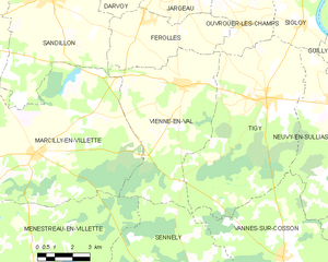
Vienne-en-Val
- commune in Loiret, France
- Country:
- Postal Code: 45510
- Coordinates: 47° 48' 3" N, 2° 8' 10" E
- GPS tracks (wikiloc): [Link]
- Area: 35.94 sq km
- Population: 1944
- Web site: [Link]

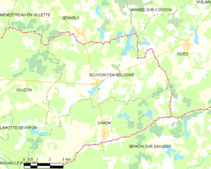
Souvigny-en-Sologne
- commune in Loir-et-Cher, France
- Country:
- Postal Code: 41600
- Coordinates: 47° 38' 41" N, 2° 9' 51" E
- GPS tracks (wikiloc): [Link]
- Area: 41.55 sq km
- Population: 515
- Web site: [Link]


Ménestreau-en-Villette
- commune in Loiret, France
- Country:
- Postal Code: 45240
- Coordinates: 47° 41' 57" N, 2° 1' 20" E
- GPS tracks (wikiloc): [Link]
- Area: 53.62 sq km
- Population: 1471
- Web site: [Link]


Vannes-sur-Cosson
- commune in Loiret, France
- Country:
- Postal Code: 45510
- Coordinates: 47° 42' 47" N, 2° 12' 43" E
- GPS tracks (wikiloc): [Link]
- Area: 35.65 sq km
- Population: 587
- Web site: [Link]