Marvejols (Marvejols)

- commune in Lozère, France
- Country:

- Postal Code: 48100
- Coordinates: 44° 33' 12" N, 3° 17' 24" E


- GPS tracks (wikiloc): [Link]
- Area: 12.45 sq km
- Population: 4841
- Web site: http://www.ville-marvejols.fr
- Wikipedia en: wiki(en)
- Wikipedia: wiki(fr)
- Wikidata storage: Wikidata: Q457631
- Wikipedia Commons Category: [Link]
- Freebase ID: [/m/02w96f0]
- Freebase ID: [/m/02w96f0]
- GeoNames ID: Alt: [2995339]
- GeoNames ID: Alt: [2995339]
- SIREN number: [214800922]
- SIREN number: [214800922]
- BnF ID: [15261498b]
- BnF ID: [15261498b]
- VIAF ID: Alt: [168124136]
- VIAF ID: Alt: [168124136]
- Library of Congress authority ID: Alt: [n80072431]
- Library of Congress authority ID: Alt: [n80072431]
- PACTOLS thesaurus ID: [pcrtdyirYbDS6r]
- PACTOLS thesaurus ID: [pcrtdyirYbDS6r]
- MusicBrainz area ID: [22d00aa4-c92a-4ae8-8439-39f82cff58bc]
- MusicBrainz area ID: [22d00aa4-c92a-4ae8-8439-39f82cff58bc]
- Quora topic ID: [Marvejols]
- Quora topic ID: [Marvejols]
- INSEE municipality code: 48092
- INSEE municipality code: 48092
Shares border with regions:


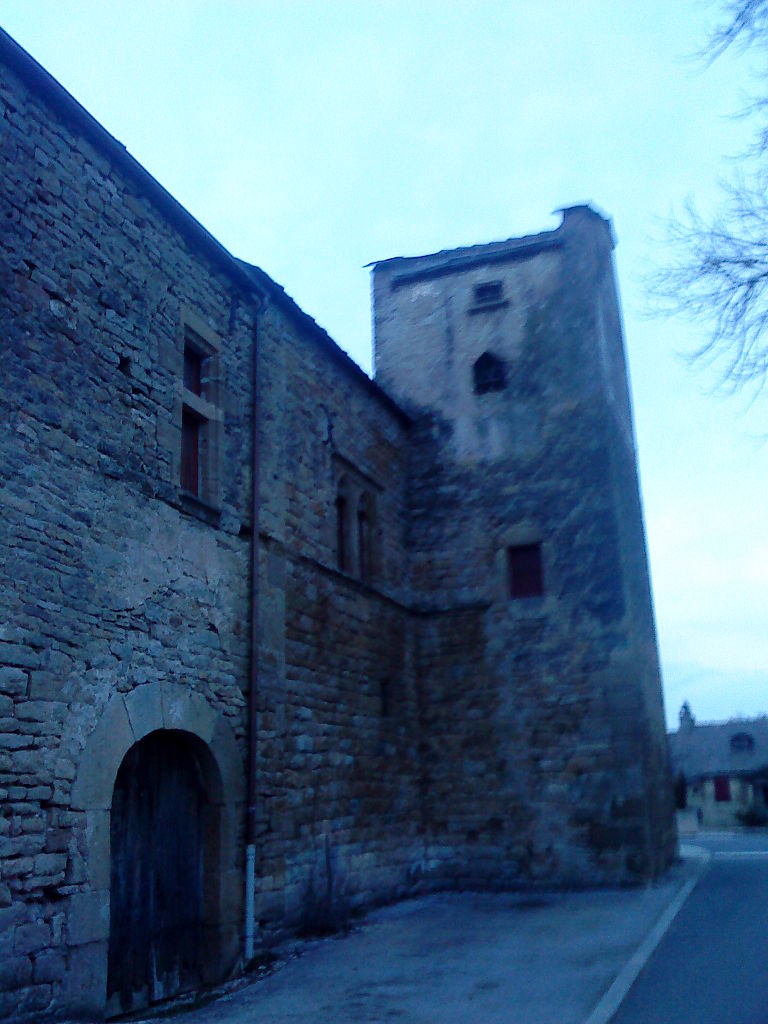
Chirac
- former commune in Lozère, France
- Country:
- Postal Code: 48100
- Coordinates: 44° 31' 26" N, 3° 15' 55" E
- GPS tracks (wikiloc): [Link]
- Area: 33.79 sq km
- Population: 1178
- Web site: [Link]


Saint-Léger-de-Peyre
- commune in Lozère, France
- Country:
- Postal Code: 48100
- Coordinates: 44° 35' 40" N, 3° 18' 5" E
- GPS tracks (wikiloc): [Link]
- Area: 27.35 sq km
- Population: 182
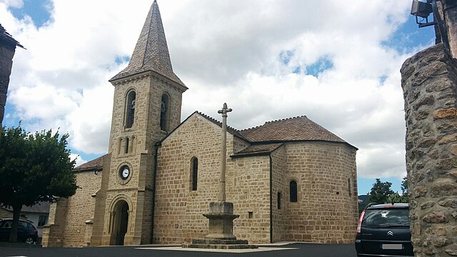
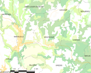
Montrodat
- commune in Lozère, France
- Country:
- Postal Code: 48100
- Coordinates: 44° 33' 6" N, 3° 19' 44" E
- GPS tracks (wikiloc): [Link]
- Area: 20.65 sq km
- Population: 1225
- Web site: [Link]

Palhers
- commune in Lozère, France
- Country:
- Postal Code: 48100
- Coordinates: 44° 31' 13" N, 3° 17' 54" E
- GPS tracks (wikiloc): [Link]
- Area: 8.59 sq km
- Population: 195
- Web site: [Link]
Antrenas
- commune in Lozère, France
- Country:
- Postal Code: 48100
- Coordinates: 44° 34' 54" N, 3° 15' 54" E
- GPS tracks (wikiloc): [Link]
- Area: 17.55 sq km
- Population: 333