Melun (Melun)
- commune in Seine-et-Marne, France
- Country:

- Postal Code: 77000
- Coordinates: 48° 32' 23" N, 2° 39' 33" E


- GPS tracks (wikiloc): [Link]
- AboveSeaLevel: 54 м m
- Area: 8.04 sq km
- Population: 39914
- Web site: http://www.ville-melun.fr
- Wikipedia en: wiki(en)
- Wikipedia: wiki(fr)
- Wikidata storage: Wikidata: Q41139
- Wikipedia Commons Gallery: [Link]
- Wikipedia Commons Category: [Link]
- Wikipedia Commons Maps Category: [Link]
- Freebase ID: [/m/012jmx]
- Freebase ID: [/m/012jmx]
- Freebase ID: [/m/012jmx]
- GeoNames ID: Alt: [2994651]
- GeoNames ID: Alt: [2994651]
- GeoNames ID: Alt: [2994651]
- SIREN number: [217702885]
- SIREN number: [217702885]
- SIREN number: [217702885]
- BnF ID: [15275628w]
- BnF ID: [15275628w]
- BnF ID: [15275628w]
- VIAF ID: Alt: [126760757]
- VIAF ID: Alt: [126760757]
- VIAF ID: Alt: [126760757]
- GND ID: Alt: [4270450-9]
- GND ID: Alt: [4270450-9]
- GND ID: Alt: [4270450-9]
- archINFORM location ID: [6256]
- archINFORM location ID: [6256]
- archINFORM location ID: [6256]
- Library of Congress authority ID: Alt: [n87137723]
- Library of Congress authority ID: Alt: [n87137723]
- Library of Congress authority ID: Alt: [n87137723]
- MusicBrainz area ID: [7db7ab36-3812-414a-a479-6f7f5c45ecee]
- MusicBrainz area ID: [7db7ab36-3812-414a-a479-6f7f5c45ecee]
- MusicBrainz area ID: [7db7ab36-3812-414a-a479-6f7f5c45ecee]
- Quora topic ID: [Melun]
- Quora topic ID: [Melun]
- Quora topic ID: [Melun]
- SUDOC authorities ID: [026569981]
- SUDOC authorities ID: [026569981]
- SUDOC authorities ID: [026569981]
- Encyclopædia Britannica Online ID: [place/Melun]
- Encyclopædia Britannica Online ID: [place/Melun]
- Encyclopædia Britannica Online ID: [place/Melun]
- Gran Enciclopèdia Catalana ID: [0041843]
- Gran Enciclopèdia Catalana ID: [0041843]
- Gran Enciclopèdia Catalana ID: [0041843]
- Encyclopædia Universalis ID: [melun]
- Encyclopædia Universalis ID: [melun]
- Encyclopædia Universalis ID: [melun]
- Twitter username: Alt: [VilleMelun]
- Twitter username: Alt: [VilleMelun]
- Twitter username: Alt: [VilleMelun]
- Digital Atlas of the Roman Empire ID: [464]
- Digital Atlas of the Roman Empire ID: [464]
- Digital Atlas of the Roman Empire ID: [464]
- INSEE municipality code: 77288
- INSEE municipality code: 77288
- INSEE municipality code: 77288
Shares border with regions:
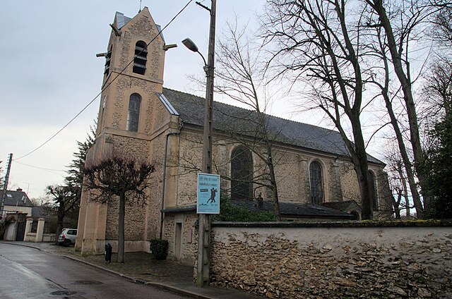

Le Mée-sur-Seine
- commune in Seine-et-Marne, France
- Country:

- Postal Code: 77350
- Coordinates: 48° 32' 15" N, 2° 37' 55" E


- GPS tracks (wikiloc): [Link]
- AboveSeaLevel: 60 м m
- Area: 5.34 sq km
- Population: 20756
- Web site: [Link]


Voisenon
- commune in Seine-et-Marne, France
- Country:

- Postal Code: 77950
- Coordinates: 48° 34' 18" N, 2° 39' 51" E


- GPS tracks (wikiloc): [Link]
- Area: 3.36 sq km
- Population: 1109


Vaux-le-Pénil
- commune in Seine-et-Marne, France
- Country:

- Postal Code: 77000
- Coordinates: 48° 31' 35" N, 2° 40' 56" E


- GPS tracks (wikiloc): [Link]
- Area: 11.64 sq km
- Population: 11039
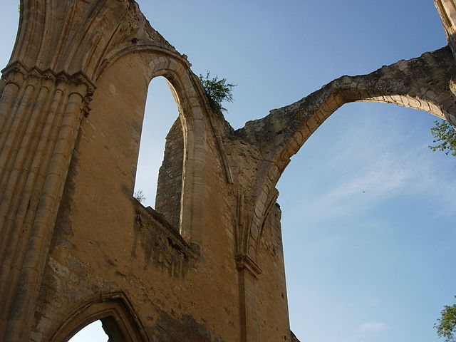

Dammarie-lès-Lys
- commune in Seine-et-Marne, France
- Country:

- Postal Code: 77190
- Coordinates: 48° 30' 55" N, 2° 38' 4" E


- GPS tracks (wikiloc): [Link]
- AboveSeaLevel: 51 м m
- Area: 10.24 sq km
- Population: 21712
- Web site: [Link]

La Rochette
- commune in Seine-et-Marne, France
- Country:

- Postal Code: 77000
- Coordinates: 48° 31' 13" N, 2° 39' 21" E


- GPS tracks (wikiloc): [Link]
- Area: 5.85 sq km
- Population: 3321
- Web site: [Link]
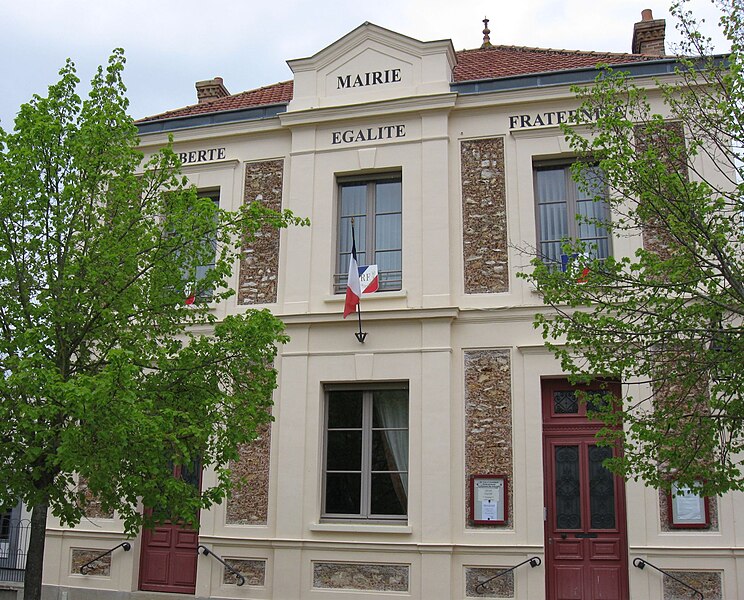

Maincy
- commune in Seine-et-Marne, France
- Country:

- Postal Code: 77950
- Coordinates: 48° 32' 59" N, 2° 42' 7" E


- GPS tracks (wikiloc): [Link]
- Area: 10.19 sq km
- Population: 1699
- Web site: [Link]


Vert-Saint-Denis
- commune in Seine-et-Marne, France
- Country:

- Postal Code: 77240
- Coordinates: 48° 34' 1" N, 2° 37' 19" E


- GPS tracks (wikiloc): [Link]
- Area: 16.13 sq km
- Population: 7369
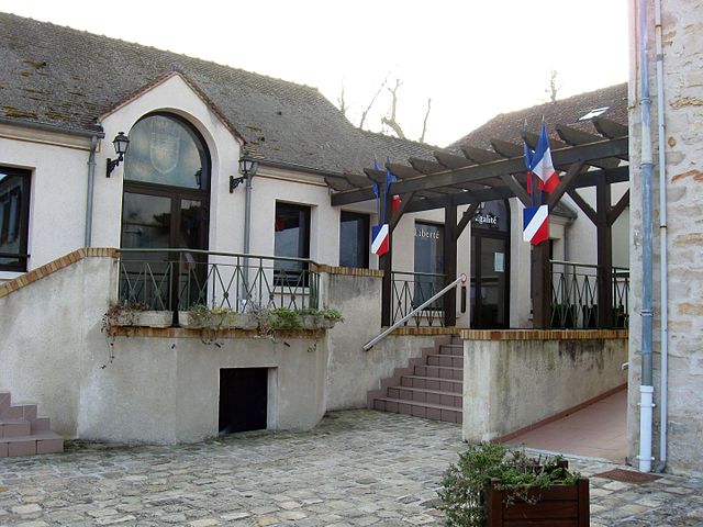
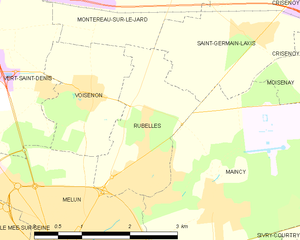
Rubelles
- commune in Seine-et-Marne, France
- Country:

- Postal Code: 77950
- Coordinates: 48° 33' 35" N, 2° 40' 49" E


- GPS tracks (wikiloc): [Link]
- Area: 3.91 sq km
- Population: 2121
- Web site: [Link]
