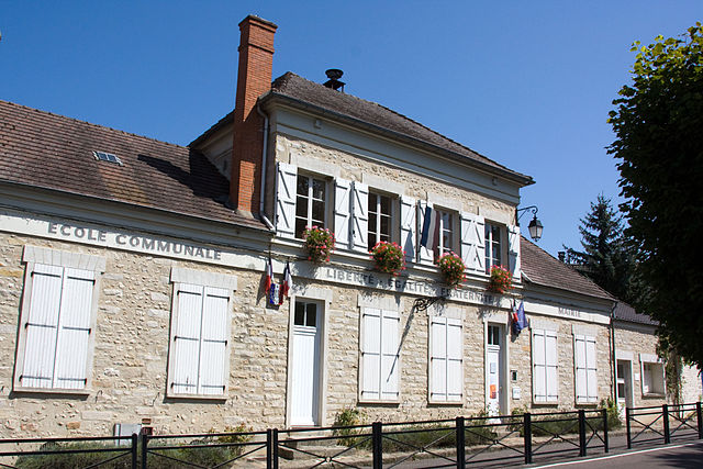
Moigny-sur-École (Moigny-sur-École)

- commune in Essonne, France
- Country:

- Postal Code: 91490
- Coordinates: 48° 25' 58" N, 2° 27' 25" E


- GPS tracks (wikiloc): [Link]
- Area: 12.23 sq km
- Population: 1265
- Web site: http://www.moigny-sur-ecole.com
- Wikipedia en: wiki(en)
- Wikipedia: wiki(fr)
- Wikidata storage: Wikidata: Q1081586
- Wikipedia Commons Category: [Link]
- Freebase ID: [/m/03mg_hg]
- Freebase ID: [/m/03mg_hg]
- GeoNames ID: Alt: [2993622]
- GeoNames ID: Alt: [2993622]
- SIREN number: [219104080]
- SIREN number: [219104080]
- BnF ID: [15280161b]
- BnF ID: [15280161b]
- VIAF ID: Alt: [138685370]
- VIAF ID: Alt: [138685370]
- PACTOLS thesaurus ID: [pcrtTYWqkQGpVB]
- PACTOLS thesaurus ID: [pcrtTYWqkQGpVB]
- INSEE municipality code: 91408
- INSEE municipality code: 91408
Shares border with regions:

Dannemois
- commune in Essonne, France
- Country:
- Postal Code: 91490
- Coordinates: 48° 27' 9" N, 2° 28' 36" E
- GPS tracks (wikiloc): [Link]
- Area: 8.43 sq km
- Population: 831
- Web site: [Link]

Videlles
- commune in Essonne, France
- Country:
- Postal Code: 91890
- Coordinates: 48° 27' 52" N, 2° 25' 53" E
- GPS tracks (wikiloc): [Link]
- Area: 8.7 sq km
- Population: 601
Courances
- commune in Essonne, France
- Country:
- Postal Code: 91490
- Coordinates: 48° 26' 23" N, 2° 28' 29" E
- GPS tracks (wikiloc): [Link]
- Area: 8.31 sq km
- Population: 345
- Web site: [Link]

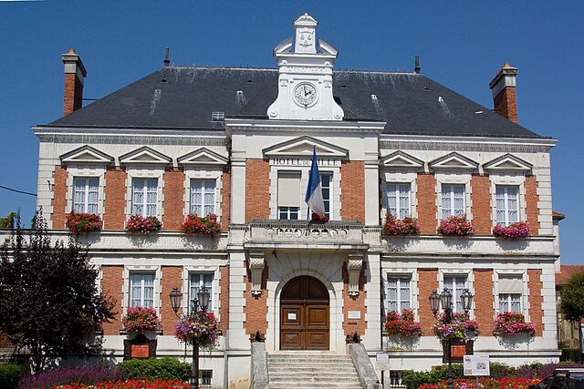
Boutigny-sur-Essonne
- commune in Essonne, France
- Country:
- Postal Code: 91820
- Coordinates: 48° 26' 9" N, 2° 22' 39" E
- GPS tracks (wikiloc): [Link]
- Area: 16.2 sq km
- Population: 3047
- Web site: [Link]
Milly-la-Forêt
- commune in Essonne, France
- Country:
- Postal Code: 91490
- Coordinates: 48° 24' 15" N, 2° 28' 1" E
- GPS tracks (wikiloc): [Link]
- Area: 33.8 sq km
- Population: 4726
- Web site: [Link]