Montagne (Montagne)
- commune in Gironde, France
- Country:

- Postal Code: 33570
- Coordinates: 44° 55' 49" N, 0° 7' 46" E


- GPS tracks (wikiloc): [Link]
- Area: 26.66 sq km
- Population: 1554
- Web site: http://montagne33.reseaudescommunes.fr/
- Wikipedia en: wiki(en)
- Wikipedia: wiki(fr)
- Wikidata storage: Wikidata: Q199457
- Wikipedia Commons Category: [Link]
- Freebase ID: [/m/03qckmx]
- GeoNames ID: Alt: [6432313]
- SIREN number: [213302904]
- BnF ID: [152563413]
- INSEE municipality code: 33290
Shares border with regions:
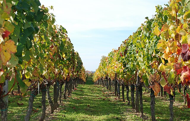

Lalande-de-Pomerol
- commune in Gironde, France
- Country:

- Postal Code: 33500
- Coordinates: 44° 57' 20" N, 0° 12' 33" E


- GPS tracks (wikiloc): [Link]
- AboveSeaLevel: 10 м m
- Area: 8.25 sq km
- Population: 669


Saint-Étienne-de-Lisse
- commune in Gironde, France
- Country:

- Postal Code: 33330
- Coordinates: 44° 52' 45" N, 0° 5' 51" E


- GPS tracks (wikiloc): [Link]
- Area: 7.09 sq km
- Population: 246

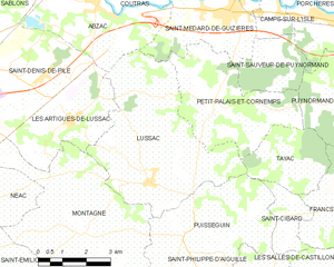
Lussac
- commune in Gironde, France
- Country:

- Postal Code: 33570
- Coordinates: 44° 57' 0" N, 0° 5' 46" E


- GPS tracks (wikiloc): [Link]
- Area: 23.43 sq km
- Population: 1284
- Web site: [Link]
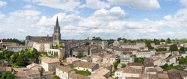

Saint-Émilion
- commune in Gironde, France
- Country:

- Postal Code: 33330
- Coordinates: 44° 53' 34" N, 0° 9' 21" E


- GPS tracks (wikiloc): [Link]
- AboveSeaLevel: 23 м m
- Area: 27.02 sq km
- Population: 1878
- Web site: [Link]


Saint-Genès-de-Castillon
- commune in Gironde, France
- Country:

- Postal Code: 33350
- Coordinates: 44° 53' 52" N, 0° 3' 56" E


- GPS tracks (wikiloc): [Link]
- Area: 6.8 sq km
- Population: 401

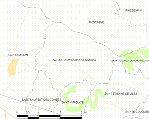
Saint-Christophe-des-Bardes
- commune in Gironde, France
- Country:

- Postal Code: 33330
- Coordinates: 44° 53' 47" N, 0° 7' 22" E


- GPS tracks (wikiloc): [Link]
- Area: 7.69 sq km
- Population: 447
- Web site: [Link]

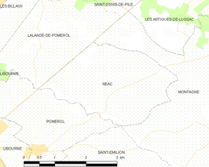
Néac
- commune in Gironde, France
- Country:

- Postal Code: 33500
- Coordinates: 44° 56' 26" N, 0° 10' 45" E


- GPS tracks (wikiloc): [Link]
- Area: 6.88 sq km
- Population: 405


Les Artigues-de-Lussac
- commune in Gironde, France
- Country:

- Postal Code: 33570
- Coordinates: 44° 58' 18" N, 0° 8' 22" E


- GPS tracks (wikiloc): [Link]
- Area: 10.16 sq km
- Population: 1095
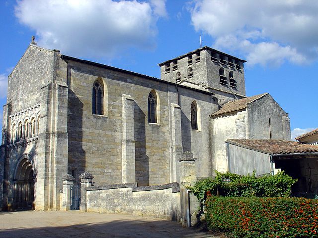

Saint-Denis-de-Pile
- commune in Gironde, France
- Country:

- Postal Code: 33910
- Coordinates: 44° 59' 30" N, 0° 12' 22" E


- GPS tracks (wikiloc): [Link]
- Area: 28.27 sq km
- Population: 5302


Puisseguin
- commune in Gironde, France
- Country:

- Postal Code: 33570
- Coordinates: 44° 55' 25" N, 0° 4' 23" E


- GPS tracks (wikiloc): [Link]
- Area: 17.25 sq km
- Population: 869
- Web site: [Link]
