Montigny (Montigny)

- commune in Meurthe-et-Moselle, France
- Country:

- Postal Code: 54540
- Coordinates: 48° 30' 57" N, 6° 48' 0" E


- GPS tracks (wikiloc): [Link]
- Area: 6.11 sq km
- Population: 143
- Wikipedia en: wiki(en)
- Wikipedia: wiki(fr)
- Wikidata storage: Wikidata: Q208278
- Wikipedia Commons Category: [Link]
- Freebase ID: [/m/03qdlrt]
- Freebase ID: [/m/03qdlrt]
- GeoNames ID: Alt: [6454305]
- GeoNames ID: Alt: [6454305]
- SIREN number: [215403775]
- SIREN number: [215403775]
- BnF ID: [15264446t]
- BnF ID: [15264446t]
- PACTOLS thesaurus ID: [pcrtfSSZ7TSKEY]
- PACTOLS thesaurus ID: [pcrtfSSZ7TSKEY]
- INSEE municipality code: 54377
- INSEE municipality code: 54377
Shares border with regions:

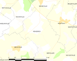
Reherrey
- commune in Meurthe-et-Moselle, France
- Country:
- Postal Code: 54120
- Coordinates: 48° 30' 33" N, 6° 46' 1" E
- GPS tracks (wikiloc): [Link]
- Area: 5.87 sq km
- Population: 120

Merviller
- commune in Meurthe-et-Moselle, France
- Country:
- Postal Code: 54120
- Coordinates: 48° 28' 54" N, 6° 46' 30" E
- GPS tracks (wikiloc): [Link]
- Area: 12.4 sq km
- Population: 355


Mignéville
- commune in Meurthe-et-Moselle, France
- Country:
- Postal Code: 54540
- Coordinates: 48° 31' 58" N, 6° 46' 46" E
- GPS tracks (wikiloc): [Link]
- Area: 6.44 sq km
- Population: 193


Vacqueville
- commune in Meurthe-et-Moselle, France
- Country:
- Postal Code: 54540
- Coordinates: 48° 28' 53" N, 6° 48' 51" E
- GPS tracks (wikiloc): [Link]
- Area: 9.96 sq km
- Population: 245


Sainte-Pôle
- commune in Meurthe-et-Moselle, France
- Country:
- Postal Code: 54540
- Coordinates: 48° 30' 36" N, 6° 49' 28" E
- GPS tracks (wikiloc): [Link]
- Area: 5.69 sq km
- Population: 197


Ancerviller
- commune in Meurthe-et-Moselle, France
- Country:
- Postal Code: 54450
- Coordinates: 48° 31' 56" N, 6° 50' 6" E
- GPS tracks (wikiloc): [Link]
- Area: 12.34 sq km
- Population: 273