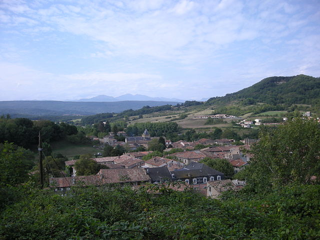
Montjardin (Montjardin)

- commune in Aude, France
- Country:

- Postal Code: 11230
- Coordinates: 42° 58' 58" N, 2° 1' 39" E


- GPS tracks (wikiloc): [Link]
- Area: 14.11 sq km
- Population: 89
- Wikipedia en: wiki(en)
- Wikipedia: wiki(fr)
- Wikidata storage: Wikidata: Q176979
- Wikipedia Commons Category: [Link]
- Freebase ID: [/m/03m8_19]
- GeoNames ID: Alt: [6615014]
- SIREN number: [211102496]
- BnF ID: [15246785m]
- INSEE municipality code: 11249
Shares border with regions:
Saint-Benoît
- commune in Aude, France
- Country:
- Postal Code: 11230
- Coordinates: 43° 1' 4" N, 2° 3' 43" E
- GPS tracks (wikiloc): [Link]
- Area: 21.31 sq km
- Population: 103


Festes-et-Saint-André
- commune in Aude, France
- Country:
- Postal Code: 11300
- Coordinates: 42° 58' 26" N, 2° 8' 44" E
- GPS tracks (wikiloc): [Link]
- Area: 18.07 sq km
- Population: 208
Villefort
- commune in Aude, France
- Country:
- Postal Code: 11230
- Coordinates: 42° 57' 13" N, 2° 1' 57" E
- GPS tracks (wikiloc): [Link]
- Area: 12.67 sq km
- Population: 92

Chalabre
- commune in Aude, France
- Country:
- Postal Code: 11230
- Coordinates: 42° 59' 2" N, 2° 0' 23" E
- GPS tracks (wikiloc): [Link]
- Area: 15.49 sq km
- Population: 1111