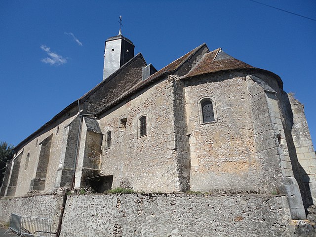
Montreuil-en-Touraine (Montreuil-en-Touraine)

- commune in Indre-et-Loire, France
- Country:

- Postal Code: 37530
- Coordinates: 47° 29' 13" N, 0° 56' 49" E


- GPS tracks (wikiloc): [Link]
- Area: 25.09 sq km
- Population: 836
- Web site: http://www.montreuil-touraine.fr
- Wikipedia en: wiki(en)
- Wikipedia: wiki(fr)
- Wikidata storage: Wikidata: Q1170820
- Wikipedia Commons Category: [Link]
- Wikipedia Commons Maps Category: [Link]
- Freebase ID: [/m/03nvcpg]
- GeoNames ID: Alt: [2992078]
- SIREN number: [213701584]
- BnF ID: [15257709z]
- VIAF ID: Alt: [126376783]
- OSM relation ID: [171408]
- SUDOC authorities ID: [029868009]
- INSEE municipality code: 37158
Shares border with regions:


Reugny
- commune in Indre-et-Loire, France
- Country:
- Postal Code: 37380
- Coordinates: 47° 28' 55" N, 0° 53' 3" E
- GPS tracks (wikiloc): [Link]
- Area: 29.72 sq km
- Population: 1644
- Web site: [Link]


Pocé-sur-Cisse
- commune in Indre-et-Loire, France
- Country:
- Postal Code: 37530
- Coordinates: 47° 26' 40" N, 0° 59' 27" E
- GPS tracks (wikiloc): [Link]
- Area: 10.61 sq km
- Population: 1625
- Web site: [Link]

Neuillé-le-Lierre
- commune in Indre-et-Loire, France
- Country:
- Postal Code: 37380
- Coordinates: 47° 30' 43" N, 0° 54' 36" E
- GPS tracks (wikiloc): [Link]
- Area: 16.63 sq km
- Population: 816


Saint-Ouen-les-Vignes
- commune in Indre-et-Loire, France
- Country:
- Postal Code: 37530
- Coordinates: 47° 28' 11" N, 0° 59' 40" E
- GPS tracks (wikiloc): [Link]
- Area: 18.55 sq km
- Population: 1016

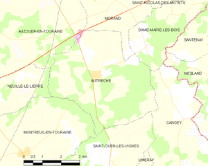
Autrèche
- commune in Indre-et-Loire, France
- Country:
- Postal Code: 37110
- Coordinates: 47° 31' 29" N, 0° 59' 46" E
- GPS tracks (wikiloc): [Link]
- Area: 20.72 sq km
- Population: 426
- Web site: [Link]


Nazelles-Négron
- commune in Indre-et-Loire, France
- Country:
- Postal Code: 37530
- Coordinates: 47° 25' 56" N, 0° 57' 12" E
- GPS tracks (wikiloc): [Link]
- AboveSeaLevel: 51 м m
- Area: 22.32 sq km
- Population: 3631
- Web site: [Link]