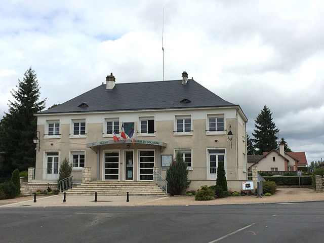
Mur-de-Sologne (Mur-de-Sologne)

- commune in Loir-et-Cher, France
- Country:

- Postal Code: 41230
- Coordinates: 47° 24' 45" N, 1° 36' 30" E


- GPS tracks (wikiloc): [Link]
- Area: 50.5 sq km
- Population: 1510
- Web site: http://mur-de-sologne.a3w.fr/
- Wikipedia en: wiki(en)
- Wikipedia: wiki(fr)
- Wikidata storage: Wikidata: Q1170042
- Wikipedia Commons Category: [Link]
- Freebase ID: [/m/03nw1n_]
- GeoNames ID: Alt: [2991160]
- SIREN number: [214101578]
- BnF ID: [15259431s]
- PACTOLS thesaurus ID: [pcrtiDir1SOMdo]
- INSEE municipality code: 41157
Shares border with regions:
Gy-en-Sologne
- commune in Loir-et-Cher, France
- Country:
- Postal Code: 41230
- Coordinates: 47° 20' 42" N, 1° 35' 0" E
- GPS tracks (wikiloc): [Link]
- Area: 35.92 sq km
- Population: 505


Veilleins
- commune in Loir-et-Cher, France
- Country:
- Postal Code: 41230
- Coordinates: 47° 25' 15" N, 1° 40' 13" E
- GPS tracks (wikiloc): [Link]
- Area: 43.26 sq km
- Population: 159


Soings-en-Sologne
- commune in Loir-et-Cher, France
- Country:
- Postal Code: 41230
- Coordinates: 47° 24' 48" N, 1° 31' 30" E
- GPS tracks (wikiloc): [Link]
- Area: 35.3 sq km
- Population: 1614


Lassay-sur-Croisne
- commune in Loir-et-Cher, France
- Country:
- Postal Code: 41230
- Coordinates: 47° 22' 25" N, 1° 37' 22" E
- GPS tracks (wikiloc): [Link]
- Area: 16.92 sq km
- Population: 253


Rougeou
- commune in Loir-et-Cher, France
- Country:
- Postal Code: 41230
- Coordinates: 47° 21' 42" N, 1° 32' 10" E
- GPS tracks (wikiloc): [Link]
- Area: 7.89 sq km
- Population: 150


Courmemin
- commune in Loir-et-Cher, France
- Country:
- Postal Code: 41230
- Coordinates: 47° 28' 19" N, 1° 37' 37" E
- GPS tracks (wikiloc): [Link]
- Area: 24.17 sq km
- Population: 526


Fontaines-en-Sologne
- commune in Loir-et-Cher, France
- Country:
- Postal Code: 41250
- Coordinates: 47° 30' 34" N, 1° 33' 3" E
- GPS tracks (wikiloc): [Link]
- Area: 46.25 sq km
- Population: 630

Pruniers-en-Sologne
- commune in Loir-et-Cher, France
- Country:
- Postal Code: 41200
- Coordinates: 47° 19' 22" N, 1° 40' 16" E
- GPS tracks (wikiloc): [Link]
- Area: 43.84 sq km
- Population: 2424