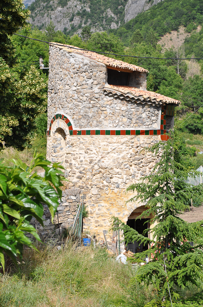
Nibles (Nibles)
- commune in Alpes-de-Haute-Provence, France
 Hiking in Nibles
It seems there might be a small misunderstanding—there isn't a widely recognized hiking destination specifically called "Nibles." However, if you're referring to a particular place or a lesser-known trail, please provide more context or correct the name, and I'd be happy to help!
If you meant a different hiking location or region, please let me know, and I can give you information about the trails, tips, and what to expect. Otherwise, here’s some general advice on hiking that can apply to most locations:
General Hiking Tips:
-
Preparation: Always check trail maps and current conditions. Know your route and have a backup plan.
-
Gear: Wear appropriate footwear, dress in layers, and carry necessary items such as water, snacks, a first-aid kit, and a navigation tool (map or GPS).
-
Safety: Let someone know your plans before you go. Stay on marked trails to avoid getting lost and respect wildlife.
-
Pace Yourself: Start at a comfortable pace and take breaks as needed. Hydration is key, especially on longer hikes.
-
Leave No Trace: Follow eco-friendly principles, taking all trash with you and minimizing your impact on the environment.
If you have a specific hiking location in mind, feel free to share, and I can provide tailored information!
- Country:

- Postal Code: 04250
- Coordinates: 44° 16' 53" N, 6° 1' 9" E


- GPS tracks (wikiloc): [Link]
- Area: 12.31 sq km
- Population: 43
- Wikipedia en: wiki(en)
- Wikipedia: wiki(fr)
- Wikidata storage: Wikidata: Q1017944
- Wikipedia Commons Category: [Link]
- Freebase ID: [/m/03m7x0g]
- Freebase ID: [/m/03m7x0g]
- GeoNames ID: Alt: [2990441]
- GeoNames ID: Alt: [2990441]
- SIREN number: [210401378]
- SIREN number: [210401378]
- INSEE municipality code: 04137
- INSEE municipality code: 04137
Shares border with regions:
La Motte-du-Caire
- commune in Alpes-de-Haute-Provence, France
Hiking in La Motte-du-Caire
La Motte-du-Caire is a charming village located in the Alpes-de-Haute-Provence region of southeastern France. It's a great area for hiking, offering beautiful landscapes, diverse flora and fauna, and various trails that cater to different skill levels. Here are some key points to consider if you're planning a hiking trip in La Motte-du-Caire:...
- Country:
- Postal Code: 04250
- Coordinates: 44° 20' 38" N, 6° 1' 42" E
- GPS tracks (wikiloc): [Link]
- Area: 27.27 sq km
- Population: 554

Valernes
- commune in Alpes-de-Haute-Provence, France
Hiking in Valernes
Valernes is a lesser-known yet charming destination for hiking enthusiasts, located in the Alpes-de-Haute-Provence region of France. Surrounded by picturesque landscapes, Valernes offers a variety of trails suitable for different skill levels, allowing hikers to immerse themselves in the stunning natural beauty of the area....
- Country:
- Postal Code: 04200
- Coordinates: 44° 15' 44" N, 5° 57' 29" E
- GPS tracks (wikiloc): [Link]
- Area: 28.49 sq km
- Population: 253

Vaumeilh
- commune in Alpes-de-Haute-Provence, France
Hiking in Vaumeilh
Vaumeilh is a charming village located in the Alpes-de-Haute-Provence region of France, nestled in the foothills of the French Alps. The area is well-known for its picturesque landscapes, and it offers a variety of hiking opportunities suitable for different skill levels, from leisurely walks to more challenging hikes....
- Country:
- Postal Code: 04200
- Coordinates: 44° 17' 18" N, 5° 57' 33" E
- GPS tracks (wikiloc): [Link]
- Area: 25.52 sq km
- Population: 259
Châteaufort
- commune in Alpes-de-Haute-Provence, France
Hiking in Châteaufort
Châteaufort, located in the Alpes-de-Haute-Provence region of France, is known for its stunning landscapes and rich natural beauty, making it an excellent destination for hiking enthusiasts. Here are some key points to consider if you're planning a hiking trip in the area:...
- Country:
- Postal Code: 04250
- Coordinates: 44° 16' 27" N, 6° 0' 58" E
- GPS tracks (wikiloc): [Link]
- Area: 13.73 sq km
- Population: 28