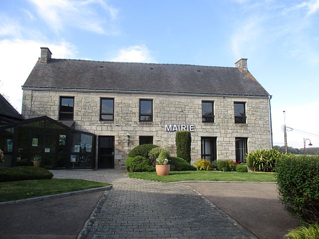
Noyal-Pontivy (Noyal-Pontivy)

- commune in Morbihan, France
- Country:

- Postal Code: 56920
- Coordinates: 48° 4' 0" N, 2° 53' 0" E


- GPS tracks (wikiloc): [Link]
- Area: 53.45 sq km
- Population: 3677
- Web site: http://www.noyal-pontivy.fr
- Wikipedia en: wiki(en)
- Wikipedia: wiki(fr)
- Wikidata storage: Wikidata: Q71692
- Wikipedia Commons Category: [Link]
- Freebase ID: [/m/03c781t]
- GeoNames ID: Alt: [2989918]
- SIREN number: [215601519]
- BnF ID: [15265400r]
- VIAF ID: Alt: [123151869]
- Library of Congress authority ID: Alt: [n80055452]
- WOEID: [614664]
- data.gouv.fr org ID: [ville-de-noyal-pontivy]
- INSEE municipality code: 56151
Shares border with regions:

Saint-Gérand
- commune in Morbihan, France
- Country:
- Postal Code: 56920
- Coordinates: 48° 6' 30" N, 2° 53' 17" E
- GPS tracks (wikiloc): [Link]
- Area: 18.05 sq km
- Population: 1088


Saint-Thuriau
- commune in Morbihan, France
- Country:
- Postal Code: 56300
- Coordinates: 48° 1' 2" N, 2° 57' 1" E
- GPS tracks (wikiloc): [Link]
- Area: 21.47 sq km
- Population: 1854
- Web site: [Link]


Pontivy
- commune in Morbihan, France
- Country:
- Postal Code: 56300
- Coordinates: 48° 4' 7" N, 2° 57' 46" E
- GPS tracks (wikiloc): [Link]
- AboveSeaLevel: 60 м m
- Area: 24.85 sq km
- Population: 14117
- Web site: [Link]


Naizin
- former commune in Morbihan, France
- Country:
- Postal Code: 56500
- Coordinates: 47° 59' 22" N, 2° 49' 55" E
- GPS tracks (wikiloc): [Link]
- Area: 40.99 sq km
- Population: 1795
- Web site: [Link]


Neulliac
- commune in Morbihan, France
- Country:
- Postal Code: 56300
- Coordinates: 48° 7' 40" N, 2° 58' 56" E
- GPS tracks (wikiloc): [Link]
- Area: 30.99 sq km
- Population: 1432
- Web site: [Link]
Moustoir-Remungol
- former commune in Morbihan, France
- Country:
- Postal Code: 56500
- Coordinates: 47° 59' 47" N, 2° 54' 10" E
- GPS tracks (wikiloc): [Link]
- Area: 12.42 sq km
- Population: 684
- Web site: [Link]


Gueltas
- commune in Morbihan, France
- Country:
- Postal Code: 56920
- Coordinates: 48° 5' 39" N, 2° 47' 45" E
- GPS tracks (wikiloc): [Link]
- Area: 20.45 sq km
- Population: 511


Kerfourn
- commune in Morbihan, France
- Country:
- Postal Code: 56920
- Coordinates: 48° 2' 35" N, 2° 50' 0" E
- GPS tracks (wikiloc): [Link]
- Area: 19.46 sq km
- Population: 859
- Web site: [Link]