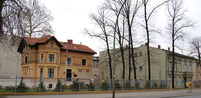
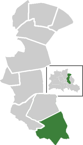
Oberschöneweide (Oberschöneweide)

- locality of Berlin
- Country:

- Coordinates: 52° 27' 43" N, 13° 30' 54" E


- GPS tracks (wikiloc): [Link]
- AboveSeaLevel: 36 м m
- Area: 6.18 sq km
- Population: 18919
- Wikipedia en: wiki(en)
- Wikipedia: wiki(de)
- Wikidata storage: Wikidata: Q644448
- Wikipedia Commons Gallery: [Link]
- Wikipedia Commons Category: [Link]
- Wikipedia Commons Maps Category: [Link]
- Freebase ID: [/m/0bs55ws]
- GeoNames ID: Alt: [2859103]
- VIAF ID: Alt: [126095710]
- OSM relation ID: [413421]
- GND ID: Alt: [4340895-3]
- archINFORM location ID: [43325]
- TGN ID: [1005252]
Shares border with regions:


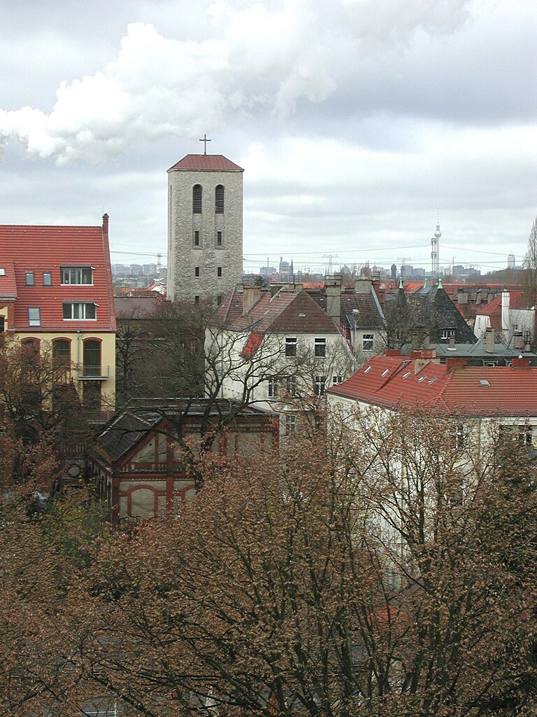
Köpenick
- locality of Berlin
- Country:
- Postal Code: 12587; 12559; 12557; 12555; 12459
- Coordinates: 52° 26' 45" N, 13° 34' 38" E
- GPS tracks (wikiloc): [Link]
- AboveSeaLevel: 32 м m
- Area: 34.9 sq km
- Population: 62569

Plänterwald
- locality of Berlin
- Country:
- Coordinates: 52° 28' 47" N, 13° 28' 31" E
- GPS tracks (wikiloc): [Link]
- AboveSeaLevel: 31 м m
- Area: 3.01 sq km


Rummelsburg
- locality of Berlin
- Country:
- Coordinates: 52° 30' 0" N, 13° 29' 33" E
- GPS tracks (wikiloc): [Link]
- AboveSeaLevel: 40 м m
- Area: 4.52 sq km


Niederschöneweide
- locality of Berlin
- Country:
- Coordinates: 52° 27' 22" N, 13° 30' 47" E
- GPS tracks (wikiloc): [Link]
- AboveSeaLevel: 36 м m
- Area: 3.49 sq km
- Population: 10446


Baumschulenweg
- locality of Berlin
- Country:
- Coordinates: 52° 27' 54" N, 13° 29' 10" E
- GPS tracks (wikiloc): [Link]
- AboveSeaLevel: 37 м m
- Area: 4.82 sq km
- Population: 17186
Karlshorst
- locality of Berlin
- Country:
- Coordinates: 52° 28' 57" N, 13° 31' 33" E
- GPS tracks (wikiloc): [Link]
- AboveSeaLevel: 36 м m
- Area: 6.6 sq km