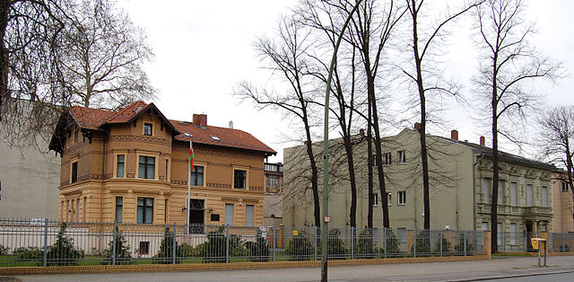
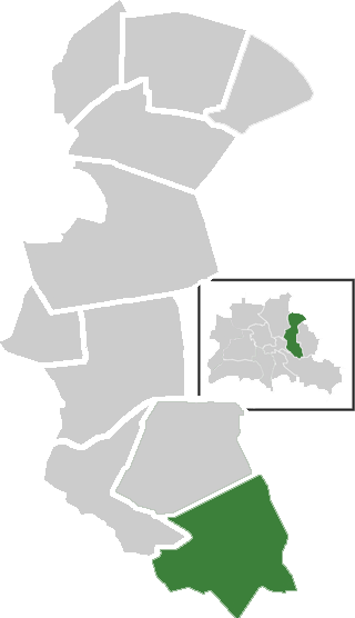
Rummelsburg (Rummelsburg)

- locality of Berlin
 Hiking in Rummelsburg
Rummelsburg is a neighborhood in Berlin, Germany, known more for its urban environment than traditional hiking trails. However, if you're looking for hiking-like experiences in and around Rummelsburg, there are a few options worth considering:
-
Rummelsburger See: The area around Rummelsburger See offers nice walking paths along the water. While not hiking in the traditional sense, you can enjoy a leisurely stroll with scenic views of the lake and the city.
-
Urban Parks: Explore nearby parks like Volkspark Friedrichshain or Treptower Park. These parks feature trails and pathways for walking, running, and cycling, providing a taste of nature amidst the urban backdrop.
-
Green Spaces: Berlin has numerous green spaces and nature reserves around Rummelsburg. The Plänterwald and the forests along the Spree River offer opportunities for longer walks and light hikes.
-
Trail to Other Neighborhoods: You can use the walking paths along the Spree River and head towards other neighborhoods like Friedrichshain or Kreuzberg, allowing you to enjoy both nature and the city’s vibrant culture.
For a more traditional hiking experience, you may want to travel a bit outside Berlin to nearby natural areas or national parks, such as the Barnim Nature Park or the Schlaubetal Nature Park, which offer more extensive hiking trails and natural landscapes.
Always remember to check local trail conditions, wear appropriate footwear, and carry enough water and snacks for your outing!
- Country:

- Coordinates: 52° 30' 0" N, 13° 29' 33" E


- GPS tracks (wikiloc): [Link]
- AboveSeaLevel: 40 м m
- Area: 4.52 sq km
- Wikipedia en: wiki(en)
- Wikipedia: wiki(de)
- Wikidata storage: Wikidata: Q561880
- Wikipedia Commons Gallery: [Link]
- Wikipedia Commons Category: [Link]
- Wikipedia Commons Maps Category: [Link]
- Freebase ID: [/m/0brzxqd]
- GeoNames ID: Alt: [2843106]
- VIAF ID: Alt: [239051368]
- OSM relation ID: [409204]
- archINFORM location ID: [43230]
Shares border with regions:


Friedrichshain
- locality of Berlin
Hiking in Friedrichshain
Friedrichshain is a vibrant neighborhood in Berlin, Germany, known more for its urban atmosphere, parks, and nightlife than for traditional hiking trails. However, there are still plenty of opportunities for walking and enjoying the outdoors in this area....
- Country:
- Postal Code: 10317; 10179; 10178; 10249; 10247; 10245; 10243
- Coordinates: 52° 30' 57" N, 13° 27' 15" E
- GPS tracks (wikiloc): [Link]
- AboveSeaLevel: 41 м m
- Area: 9.78 sq km
- Population: 125169

Plänterwald
- locality of Berlin
Hiking in Plänterwald
Plänterwald is a beautiful green area located in Berlin, Germany, particularly known for its scenic landscapes and unique blend of nature and urban environment. While it may not be the first location that comes to mind for hiking, it offers a number of trails and paths that can be enjoyable for walkers and nature enthusiasts....
- Country:
- Coordinates: 52° 28' 47" N, 13° 28' 31" E
- GPS tracks (wikiloc): [Link]
- AboveSeaLevel: 31 м m
- Area: 3.01 sq km
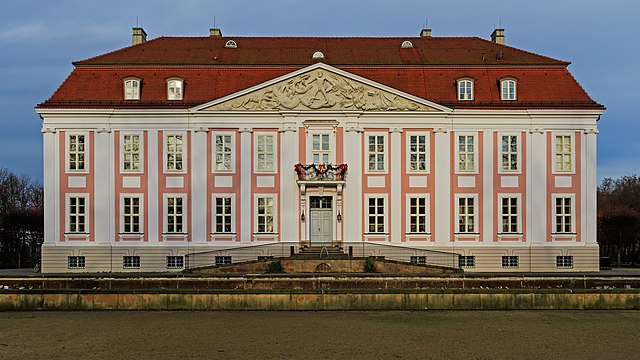
Friedrichsfelde
- locality of Berlin
Hiking in Friedrichsfelde
Friedrichsfelde is a district located in the eastern part of Berlin, Germany. It is known for its parkland and green spaces, making it a lovely area for hiking and outdoor activities. If you’re looking to hike in Friedrichsfelde, here are some details you might find useful:...
- Country:
- Coordinates: 52° 30' 21" N, 13° 31' 9" E
- GPS tracks (wikiloc): [Link]
- AboveSeaLevel: 39 м m
- Area: 5.55 sq km
- Population: 52502


Oberschöneweide
- locality of Berlin
Hiking in Oberschöneweide
Oberschöneweide is a district in the borough of Treptow-Köpenick in Berlin, Germany. While it's primarily known for its industrial history and urban environment, there are still opportunities for hiking and enjoying nature in and around the area....
- Country:
- Coordinates: 52° 27' 43" N, 13° 30' 54" E
- GPS tracks (wikiloc): [Link]
- AboveSeaLevel: 36 м m
- Area: 6.18 sq km
- Population: 18919
Karlshorst
- locality of Berlin
Hiking in Karlshorst
Karlshorst, a district in Berlin, Germany, is not typically known as a traditional hiking destination, as it is more urbanized compared to rural nature areas. However, there are opportunities for walking and enjoying the outdoors in and around the area. Here are some details and suggestions for a hiking-like experience in Karlshorst:...
- Country:
- Coordinates: 52° 28' 57" N, 13° 31' 33" E
- GPS tracks (wikiloc): [Link]
- AboveSeaLevel: 36 м m
- Area: 6.6 sq km


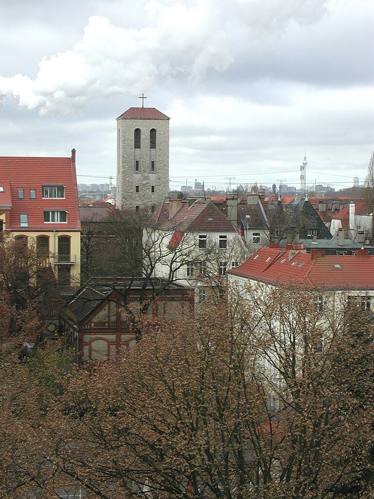
Lichtenberg
- locality of borough Lichtenberg of Berlin, Germany
Hiking in Lichtenberg
Lichtenberg is a picturesque locality located in the region of Brandenburg, Germany. It is situated near the capital city, Berlin, making it a popular destination for day-trippers and hikers looking to escape the urban environment....
- Country:
- Coordinates: 52° 31' 16" N, 13° 28' 48" E
- GPS tracks (wikiloc): [Link]
- AboveSeaLevel: 52 м m
- Area: 7.22 sq km
- Population: 39121