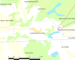
Passavant-en-Argonne (Passavant-en-Argonne)

- commune in Marne, France
- Country:

- Postal Code: 51800
- Coordinates: 49° 1' 24" N, 5° 0' 17" E


- GPS tracks (wikiloc): [Link]
- Area: 7.24 sq km
- Population: 212
- Wikipedia en: wiki(en)
- Wikipedia: wiki(fr)
- Wikidata storage: Wikidata: Q338008
- Wikipedia Commons Category: [Link]
- Freebase ID: [/m/03qd8nx]
- GeoNames ID: Alt: [6435934]
- SIREN number: [215103920]
- BnF ID: [152630245]
- VIAF ID: Alt: [299880393]
- INSEE municipality code: 51424
Shares border with regions:


Beaulieu-en-Argonne
- commune in Meuse, France
- Country:
- Postal Code: 55250
- Coordinates: 49° 1' 54" N, 5° 4' 1" E
- GPS tracks (wikiloc): [Link]
- Area: 29.56 sq km
- Population: 37
Éclaires
- commune in Marne, France
- Country:
- Postal Code: 51800
- Coordinates: 49° 0' 0" N, 5° 0' 7" E
- GPS tracks (wikiloc): [Link]
- Area: 10.96 sq km
- Population: 93

Villers-en-Argonne
- commune in Marne, France
- Country:
- Postal Code: 51800
- Coordinates: 49° 1' 14" N, 4° 56' 4" E
- GPS tracks (wikiloc): [Link]
- Area: 9.57 sq km
- Population: 231
Le Chemin
- commune in Marne, France
- Country:
- Postal Code: 51800
- Coordinates: 49° 0' 17" N, 4° 58' 14" E
- GPS tracks (wikiloc): [Link]
- Area: 6.24 sq km
- Population: 53